Track Transportation Projects With the SFCTA’s New “MyStreetSF” Map
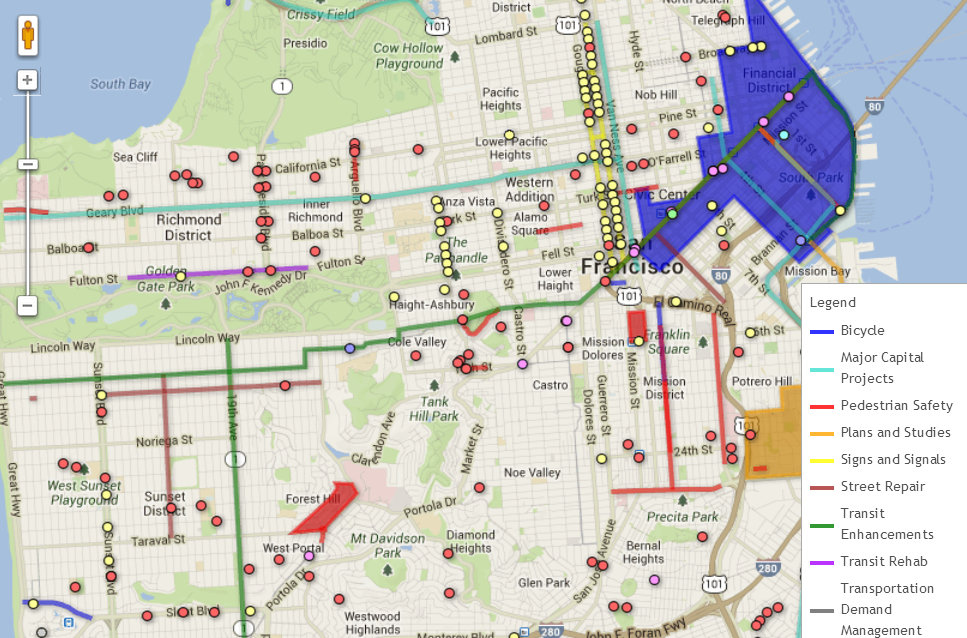
The SF County Transportation Authority recently launched an interactive Google map that shows ongoing transportation projects throughout San Francisco all in one place.
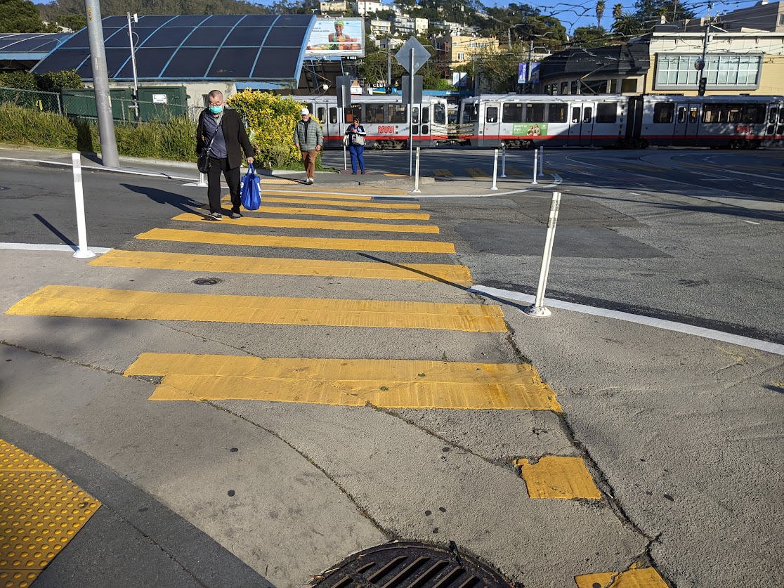
MyStreetSF.com lets users search for traffic calming projects, pedestrian safety upgrades, bike lanes, transit lanes, traffic signal upgrades, and even BART/Muni escalator rehabs. Users can search with a number of filters, including by neighborhood, supervisor district, project type, funding source, and timeline.
Maria Lombardo, interim executive director of the SFCTA, said the map is aimed at helping the public become familiar with smaller transportation projects, which tend not to get as much exposure in the media as major ones. "Most people are familiar with the very large capital projects like the Central Subway or the Transbay Terminal," she said. "But half of our programs are things happening in the neighborhood that can happen very quickly."
Not all of the city's transportation programs can be mapped -- for example, bike education classes, commuter benefits programs, and rideshare matching services. Information on those programs is listed below the map.
Read More:
Stay in touch
Sign up for our free newsletter
More from Streetsblog San Francisco


SFMTA Starts West Portal Outreach
Agency presents plans to block traffic from crossing in front of the train station