Skip to Content
Log In
Menu
Search
Search
About Us
Contact Streetsblog SF
Our Funders
Comment Moderation Policy
Streetsblog San Francisco Editorial Independence Policy
Donor Transparency Policy
Log In
Streetsblog San Francisco Facebook
Streetsblog San Francisco X (formerly Twitter)
USA
NYC
MASS
LA
CHI
SF
CAL
Thanks to our advertising sponsor -
Portland
Streetsblog USA
Promoted
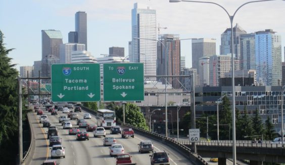
Boondoggle: Oregon Highway Widening Gets ‘Reconnecting Communities’ Cash
April 8, 2024
Streetsblog California
City Planning
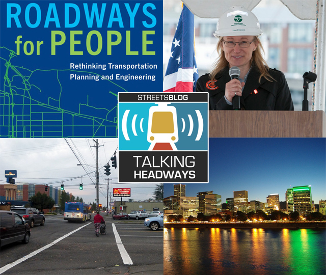
Talking Headways Podcast: Roadways for People
March 17, 2023
Portland
Joe Cortright: Death of CRC Signals the End of “Highway Dinosaur Era”
Angie Schmitt
July 10, 2013
Portland
Portland Adds Nation’s First Bike Counter to Hawthorne Bridge
Clarence Eckerson Jr.
August 9, 2012
Best Practices
How Bikes Make Portland Cool
Aaron Bialick
March 19, 2012
Boston
Google Shows That When Transit Agencies Free Their Data, Riders Win
Tanya Snyder
June 10, 2011
Bicycle Commuting
Bicycling Up 8.5 Percent in SF Last Year, 53 Percent Increase from 2006
Michael Rhodes
January 23, 2010
Bike Boxes
Eyes on the Street: San Francisco’s First Green Bike Box Remains Unfinished
Bryan Goebel
December 23, 2009
Bicycle Infrastructure
Portland’s Greenstreets Program a Sterling Best Practice Model
Matthew Roth
November 13, 2009
Pavement to Parks
Planning Chiefs: Urban Planning Still Hindered by Politics, Past Mistakes
Michael Rhodes
November 6, 2009
Next