San Mateo County
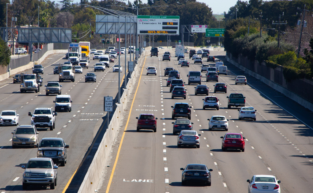
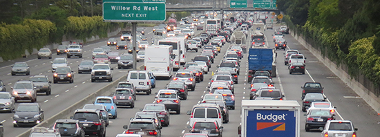
San Mateo County Again Claims Adding Lanes Reduces Pollution and Congestion
What's it going to take to get traffic engineers and politicians to stop lying about widening?
December 13, 2023
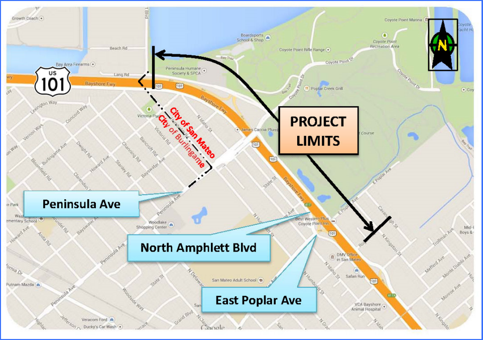
San Mateo County Continues 101 Widening
Despite all the evidence that induced demand is making things worse, the SMCTA will just keep digging its own hole
October 10, 2023