Skip to Content
Log In
Menu
Search
Search
About Us
Contact Streetsblog SF
Our Funders
Comment Moderation Policy
Streetsblog San Francisco Editorial Independence Policy
Donor Transparency Policy
Log In
Streetsblog San Francisco Facebook
Streetsblog San Francisco X (formerly Twitter)
USA
NYC
MASS
LA
CHI
SF
CAL
Thanks to our advertising sponsor -
Bus Rapid Transit
Streetsblog USA
Promoted
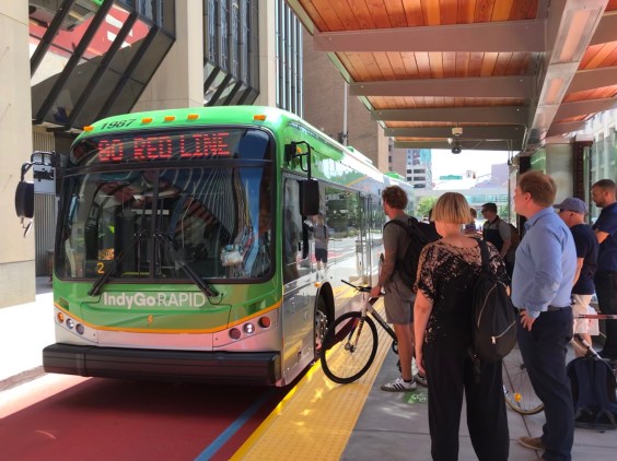
What Indianapolis’ BRT Mess Reveals About the Troubling Power of ‘State Preemption’ in Transportation
March 25, 2024
Streetsblog USA
Promoted
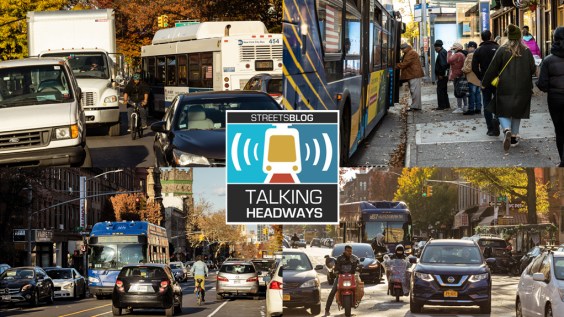
Talking Headways Podcast: The Sexy World of Bus Speeds
November 30, 2023
Streetsblog California
Promoted
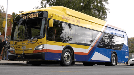
Caltrans Approves $192M for Clean Transit
October 30, 2023
Streetsblog USA
Transit
Top Transit Org Lists the Equity-Focused Projects America Needs Right Now
October 10, 2023
Streetsblog USA
Bicycling
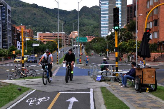
Is Bogotá a Better Model for Transportation Reform than the Green Capitals of Europe?
July 5, 2023
Streetsblog California
Promoted
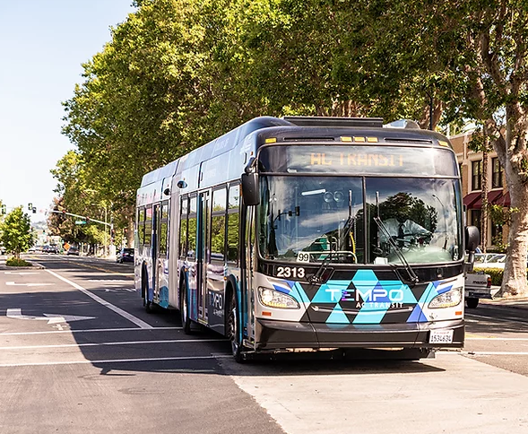
AC Transit Board Approves Automated Bus Stop Enforcement Program
June 15, 2023
Streetsblog California
Bus Rapid Transit
Talking Headways Podcast: A Miami-Dade Voice for Bus Rapid Transit
March 9, 2023
Streetsblog USA
Bus Rapid Transit
What A Multimodal Urban Design Contest in Iceland Can Teach the U.S.
February 13, 2023
Bicycle Infrastructure
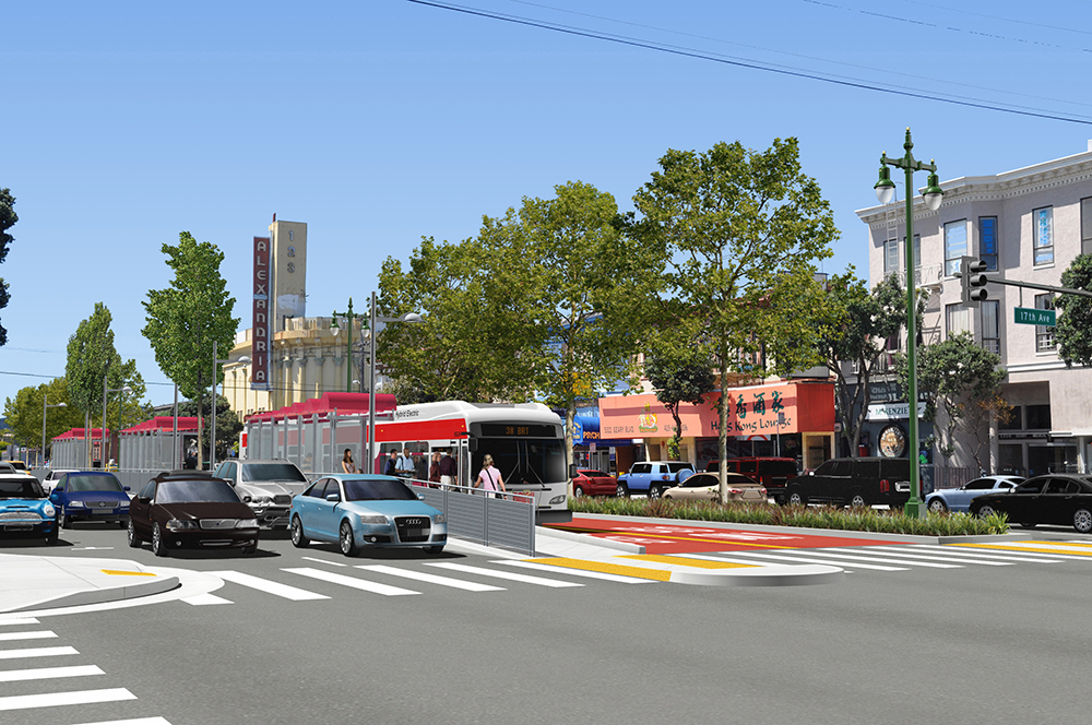
ULI Talk: The Bay Area’s Transportation Future
Roger Rudick
February 28, 2018
Bus Rapid Transit
SamTrans Pushes Both Transit and Traffic Expansions for Dumbarton Bridge
Andrew Boone
September 15, 2016
Next