Events
SPUR Lunchtime Forum: Mapping the Bay Region
Stay in touch
Sign up for our free newsletter
More from Streetsblog San Francisco
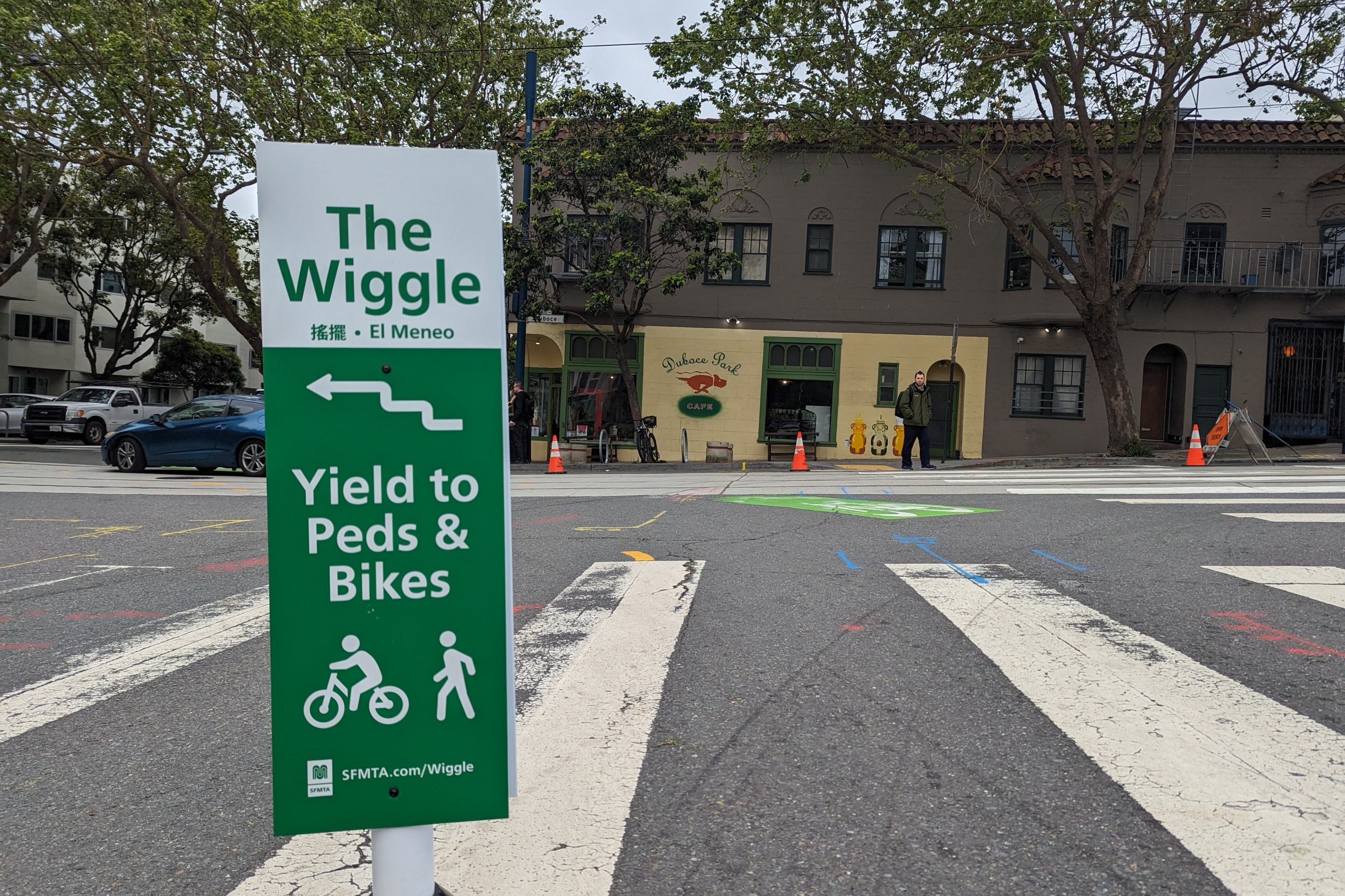
Independent Safety Advocates Beef up the Wiggle
Signs and soft-hit posts installed by advocates make the Wiggle bike route calmer and safer for cyclists and pedestrians
April 24, 2024
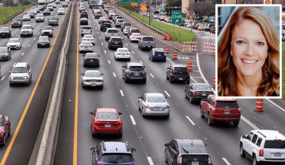
Commentary: Make Bay Area Transit Seamless as Condition of New Funding
Ian Griffiths
April 23, 2024