New Website Prompts Transit Agencies to Open Data to the Public

The software developers and open data advocates at Front Seat, known more familiarly for their Walk Score rankings of the most walkable U.S. cities, have turned their focus on transit agencies that have resisted opening transit data to third-party, open-source developers. Their new website, City-Go-Round, is an effort to encourage agencies to release their schedules in Google Transit Feed Specification (GTFS), the standard for programmers. With the data, Front Seat expects software developers will continually improve the interface between operators and their riders.
"We're trying to figure out the best way to get transit agencies to open up their data and figure out what the best way is to get customers to use the site and see what apps are there [so they] pressure their transit agencies," said Matt Lerner, Chief Technology Officer for Front Seat.
The website offers lists of all 748 transit agencies around the country, grouping them by
those that have open data (96, including many California agencies) and
those that have not released their data (New York metro operators are the top four by size). The list of agencies that don't release data is meant to encourage operators to voluntarily comply with open data and the site has a petition that users can sign to help Front Seat reach out to operators and demonstrate the demand from riders.
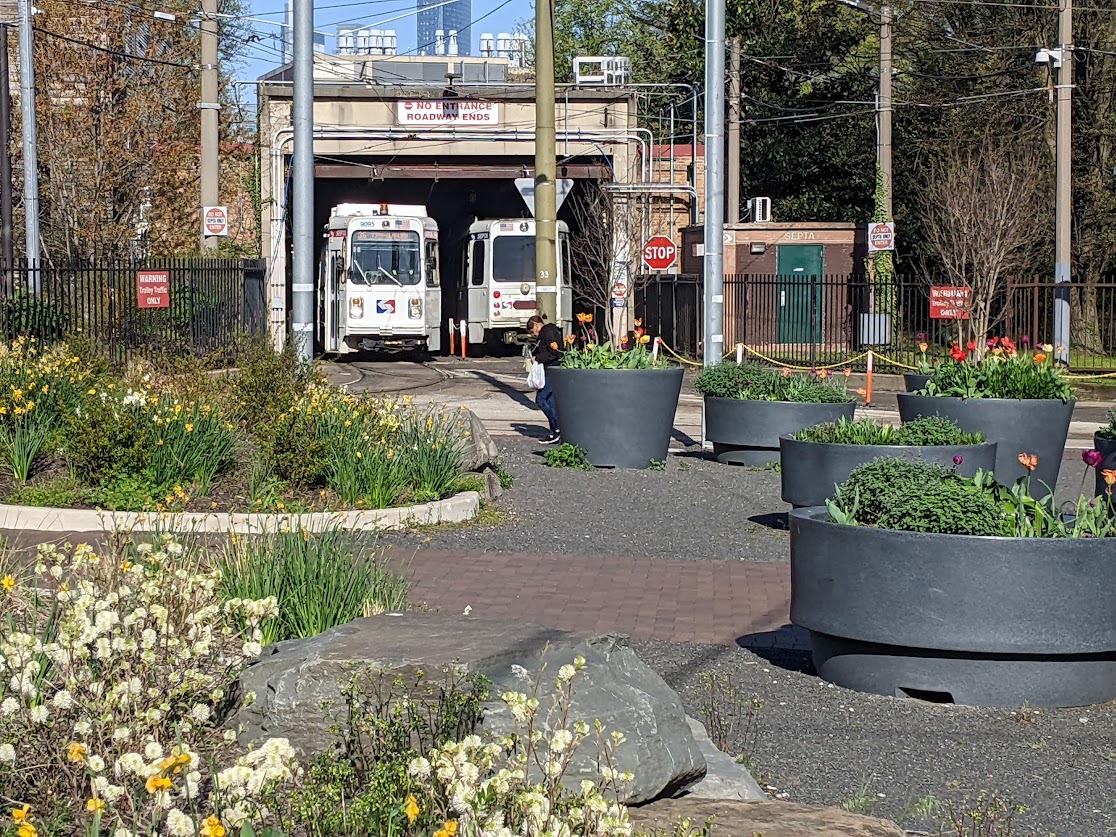
Lerner was proud to announce that since the launch of the website two weeks ago, a number of transit agencies have opened their data to developers, including the Chicago Transit Authority (CTA), which had been number four on their list of largest operators.
In addition to the glare of public attention on the operators, Lerner and Front Seat have used the website to highlight the many innovative software applications developers have created in cities where data is open.
"We sort of made the apps the carrot to show what they can get with open data and the wall of shame for those that don't," said Lerner, who speculated that some agencies, like the New York MTA, were holding out for licensing opportunities or other ways to make money off of the data.
Rather than hold onto the data and seek licensing, Lerner thinks the cost savings to the operators would be more valuable to the public than a short-term license fee. "It ends up being a huge cost savings for the agencies. I think it's going to be harder and harder for New York to justify not opening up the data that was collected with taxpayer money."
Agencies like NYC MTA already provide their GTSF data to Google, which to Lerner's knowledge, has made clear it will not pay a fee. If and when they provide the data to everyone is unclear.
Other agencies already understand the value of open-sourcing data to eager developers, an arrangement that costs the operator very little and gives riders valuable tools. As we reported, BART sees third-party developers as assets to get data to their customers in a way their limited staff can't.
BART Website Manager Timothy Moore said at the time, "We basically can't envision every beneficial
use for this public data
and frankly transit agencies in general don't have the vision. We don't
have the time, we don't have the resources."
Chris Dempsey, assistant transportation secretary for Massachusetts DOT echoed that sentiment.
"With transportation budgets stretched thin across the country, we see
opening transportation data as a tremendous opportunity for cost
savings," he said in a press release. "Enabling software developers to build apps with our data is a
huge win for our riders—all at essentially no cost to the agency."

Of the more than 80 applications on the site, several offer very creative options for transit riders. ExitStrategyNYC helps riders of New York City's subway system plan their position within a train based on where the exits are at the stop at which they plan to disembark. A small time savings, but one that regular riders often find themselves figuring out at their most frequented stops.
Across Air, an augmented reality application, uses the iPhone's video capability to give users the nearest line information on a real-time video image of the street. Holding the phone flat in a given city, the app displays transit lines with colored arrows. By tilting the phone upwards, users see the nearest stations: what direction they are in relation to their location and how many miles away they are. Tilt the phone upwards more and stations further away appear as stacked icons.
The clear next step in development is to create applications that utilize real-time arrival data, such as Routesy and iBART Live in the San Francisco Bay Area, or One Bus Away in Seattle. Very few agencies provide real-time data (TriMet in Portland, OR, BART, SFMTA, CTA, DC Circulator, and Seattle's King County Metro), though with City-Go-Round and the growing field of developers, more should feel the incentive to go in this direction.
"Real-time data totally changes the experience for a rider when you have it," said Lerner, who lives in Seattle and raved about One Bus Away and other real-time apps. "When I don't have my phone on me and I'm riding a bus I feel like I'm riding blind."
Stay in touch
Sign up for our free newsletter
More from Streetsblog San Francisco
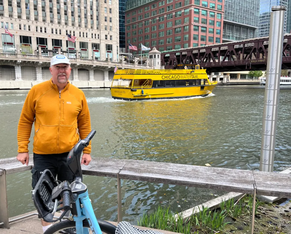
Streetsblog SF editor Roger Rudick offers constructive criticism of Chicago’s downtown bike network
"There were blocks that felt very safe and very secure," he said. "But then you're immediately – voom! – disgorged into three lanes of moving traffic with no protection."

Commentary: There is Zero Ambiguity to the West Portal Tragedy
What happened in West Portal was entirely predictable and preventable. The city must now close Ulloa to through traffic and make sure it can never happen again