Skip to Content
Log In
Menu
Search
Search
About Us
Contact Streetsblog SF
Our Funders
Comment Moderation Policy
Streetsblog San Francisco Editorial Independence Policy
Donor Transparency Policy
Log In
Streetsblog San Francisco Facebook
Streetsblog San Francisco X (formerly Twitter)
USA
NYC
MASS
LA
CHI
SF
CAL
Thanks to our advertising sponsor -
Greenways
Streetsblog USA
Bicycling
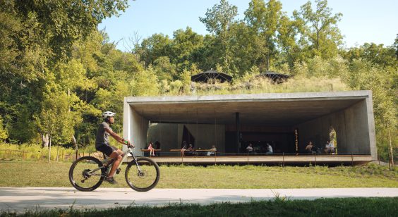
Is NW Arkansas About to Become the Next Biking Capital of America?
August 28, 2023
Bike Boulevards
Creating a Safer “Green Gateway” at Valencia and Mission Streets
Aaron Bialick
July 10, 2013
Greenstreets
City Sets Out to Create Safer, Greener Streets on the Wiggle
Aaron Bialick
June 12, 2013
Bicycle Infrastructure
San Franciscans Want to Link Parks With Safer Intersections, Living Streets
Aaron Bialick
January 4, 2013
Bicycle Safety
Envisioning the Wiggle as a People-Centered Greenway
Aaron Bialick
May 30, 2012
Greenstreets
Tomorrow: Help Envision Better Streets Connecting to Heron’s Head Park
Aaron Bialick
March 9, 2012
Best Practices
The Political and Economic Implications of Bicycling Tourists
Chris Carlsson
May 2, 2011
Berkeley
Bay Area Cities Rediscover the Creeks Under Their Streets
Matt Baume
April 9, 2010
Community, Advocacy and Labor
Depaving Uncovers Layers of History
Chris Carlsson
January 13, 2009
Air Quality
Jane Martin is a Force of Nature
Chris Carlsson
January 8, 2009