Skip to Content
Log In
Menu
Search
Search
About Us
Contact Streetsblog SF
Our Funders
Comment Moderation Policy
Streetsblog San Francisco Editorial Independence Policy
Donor Transparency Policy
Log In
Streetsblog San Francisco Facebook
Streetsblog San Francisco X (formerly Twitter)
USA
NYC
MASS
LA
CHI
SF
CAL
Thanks to our advertising sponsor -
Highway Removal
Streetsblog USA
Promoted
Boondoggle: Oregon Highway Widening Gets ‘Reconnecting Communities’ Cash
April 8, 2024
Streetsblog USA
Promoted
The Biggest Wins — And Disappointments — From the ‘Reconnecting Communities’ Grants
March 22, 2024
Streetsblog USA
Promoted
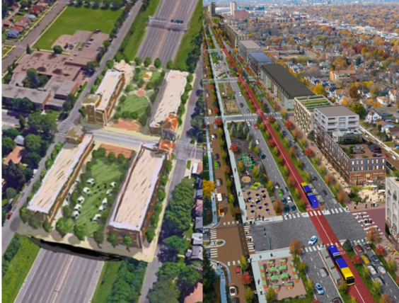
Letter from Minneapolis: The Legacy of Highway Construction
March 12, 2024
Streetsblog USA
Promoted
How To Take a Freeway Fight to the Next Level
August 15, 2023
Streetsblog USA
Promoted
Twin Cities Advocates Split Over What’s Possible for Their Downtown Highway
August 10, 2023
Streetsblog USA
Promoted
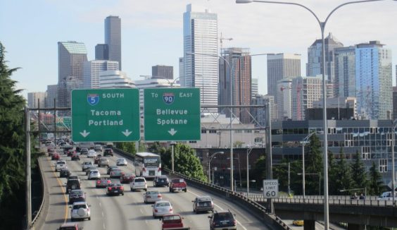
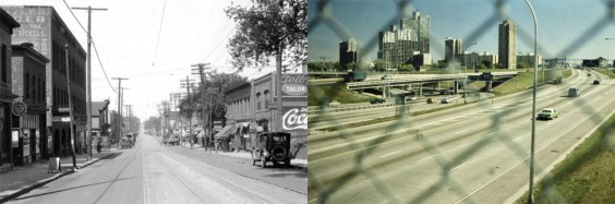
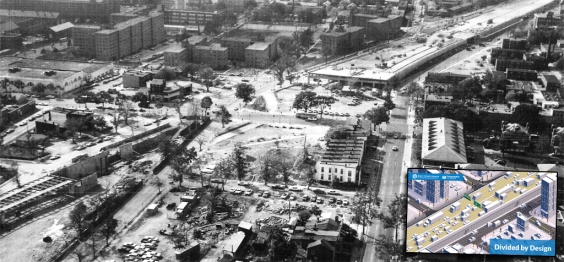
What Would Our Cities Look Like if Their Downtowns Had Not Been Torn Apart for Highways?
July 14, 2023
Streetsblog California
Promoted
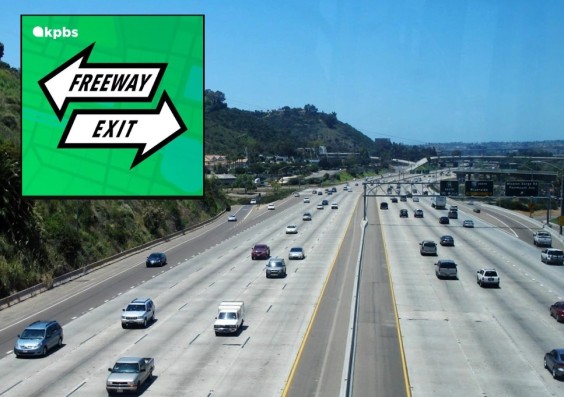
‘Freeway Exit’ Podcast Tells San Diego’s Freeway Histories of Growth, Displacement, and Division
July 13, 2023
Streetsblog USA
Promoted
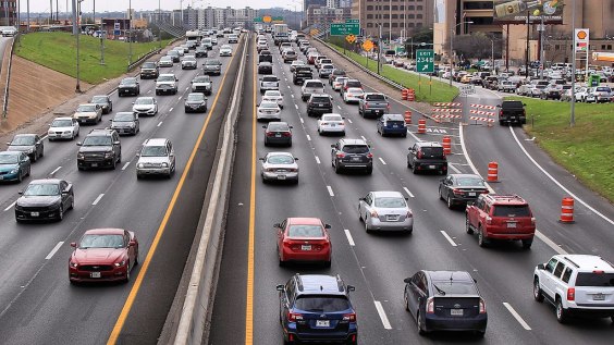
Study: Two-Thirds of Americans Know Highway Expansions Don’t Cure Traffic
June 29, 2023
Streetsblog California
Freeway Fighters
Why Small Cities Torn Apart By Highways Need Extra Help to Heal
June 12, 2023
Streetsblog USA
Freeway Fighters
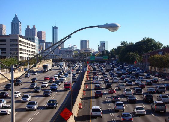
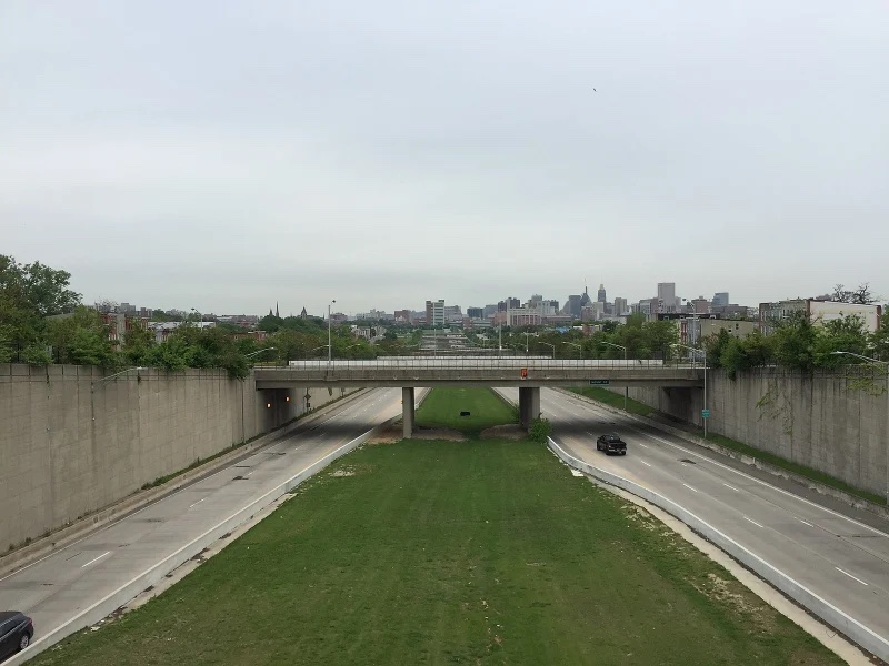
These 10 Urban Freeways Deserve To Be Demolished — But Will They?
April 19, 2023
Next