Skip to Content
Log In
Menu
Search
Search
About Us
Contact Streetsblog SF
Our Funders
Comment Moderation Policy
Streetsblog San Francisco Editorial Independence Policy
Donor Transparency Policy
Log In
Streetsblog San Francisco Facebook
Streetsblog San Francisco X (formerly Twitter)
USA
NYC
MASS
LA
CHI
SF
CAL
Thanks to our advertising sponsor -
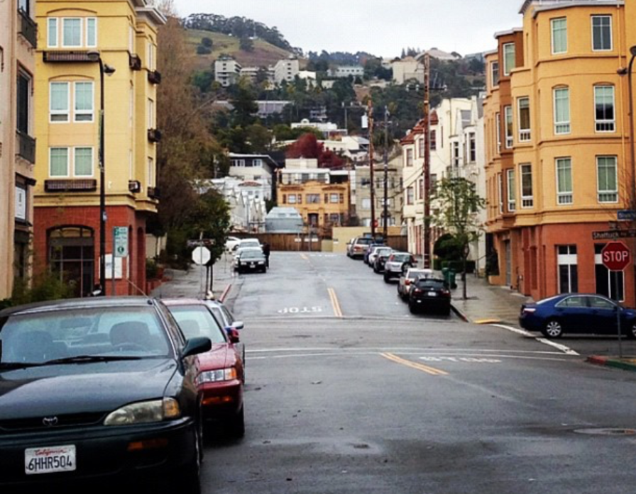
Walking
Streetsblog USA
Promoted
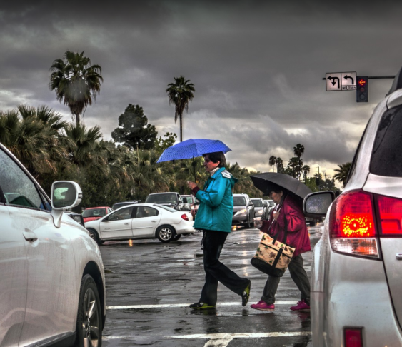
Survey Says: American Walking Data Is Getting Worse
March 27, 2024
Streetsblog California
Pedestrian Safety
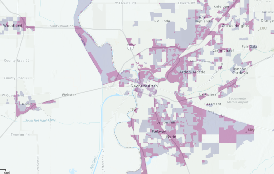
California Launches New Transportation Equity Tool
March 4, 2024
Streetsblog USA
Promoted
Why Your City Needs a Walkability Study
February 20, 2024
Streetsblog USA
Promoted
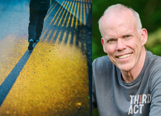
Bill McKibben Talks How Walking Can Help End the Climate Crisis — And Make Americans Happier
October 31, 2023
Streetsblog California
Pedestrian Safety
Road Feels Unsafe? Prove It!
October 11, 2023
Streetsblog USA
Promoted
Bill McKibben Talks About Why the ‘Week Without Driving’ Campaign Is Only the Beginning
October 6, 2023
Streetsblog USA
Bicycling
Why Sustainable Transportation Advocates Need to Talk About Long COVID
September 19, 2023
Streetsblog USA
Transit
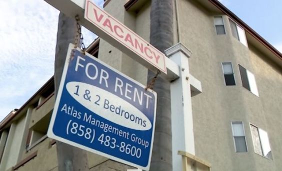
Where Have All the Three-Bedrooms in Walkable Neighborhoods Gone?
July 25, 2023
Streetsblog USA
Berkeley
Essay: Why Even The Most Progressive Cities Are Failing Their Car-Free Residents
May 18, 2023
Streetsblog USA
Eyes on the Street
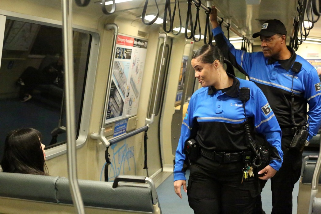
What if we applied the Transit Ambassadors model to create safe, orderly public spaces?
April 18, 2023
Next