Walk Score Updates Transit Travel Map for Bay Area

As we reported a couple weeks ago, Walk Score was developing a new transit twist to their website, which is now in beta here. The transit shed map seen above utilizes Google Transit Feed Specification schedule data from the MTA, Caltrain, and BART to produce the travel information (hint: zoom in to pinpoint your location if your results don’t seem accurate).
The folks at Walk Score have partnered with Zillow.com to couple millions of real estate listings with walk scores, with the hope of encouraging new home buyers to consider how walkable the neighborhood is before they buy.
“If you look at a real estate site today, there’s nothing that talks
about how well a house is served by transit,” said Matt Lerner of Walk Score. “This is a baby step in
that direction. We want people to think about Walk Score and transit
when they’re deciding where to live.”
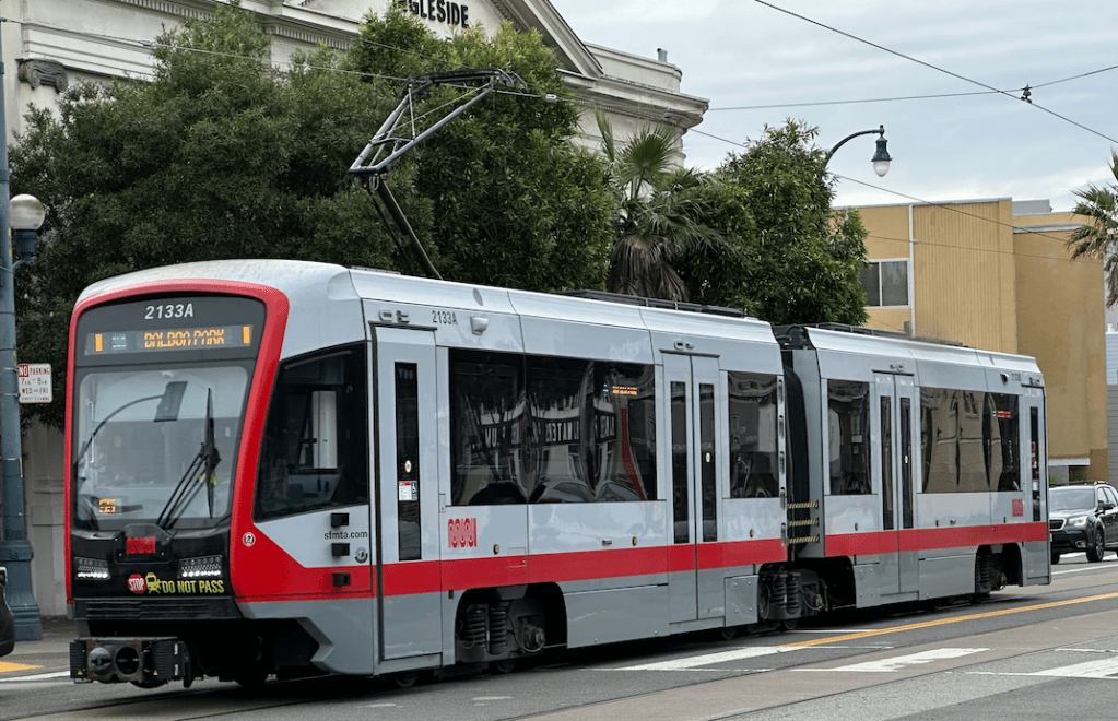
MTA Spokesperson Judson True said the following after plugging in a coordinate on the N-Judah corridor in the Sunset:
We haven’t even begun to see the ways technology will help us get around better on transit. It also points out that transit isn’t fast enough. We know that in order to make transit attractive to people, you have to get where you need to go in a reasonable time.
Tell us what you think and what can be improved with the site.

Streetsblog has migrated to a new comment system. New commenters can register directly in the comments section of any article. Returning commenters: your previous comments and display name have been preserved, but you'll need to reclaim your account by clicking "Forgot your password?" on the sign-in form, entering your email, and following the verification link to set a new password — this is required because passwords could not be carried over during the migration. For questions, contact tips@streetsblog.org.