Another Step in Reducing Auto Dependence
9:22 AM PDT on July 2, 2009
If you're a person who is accustomed to getting around the place you
live without a car, you've probably spent at least some time trying to
sell your auto-dependent friends on the concept. Maybe you've even gone
so far as to map out a route for them so that they wouldn't get
frustrated. And sometimes you've succeeded in getting another person
onto a bike, bus, train or trolley to make a trip across town. It's a
good feeling, right?
 In Chicago's Southland, Streetsblog Network member Active Transportation Alliance has created a program called Footprints
that makes this kind of friendly advice available on a wider basis.
Footprints pairs anyone who asks with a "coach" who will "create with
you a personalized program of biking, walking, and transit options that
meets your needs where you live."
In a recent blog post, Footprints coach Mary Lynn Wilson talked about the work she does:
For
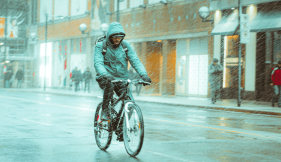
most of the people we sign up, using a bike for transportation is a
novel experience. Using the recommended streets on the Chicagoland bike
maps and having the fledgling go at it would bring their noble
experiment to a quick halt. So, we coaches poke through maps, Google
and Bing only to be faced with a myriad of cul-de-sacs, canals,
railroad tracks and streets where a speed limit is merely a suggestion.
Persevere we do and manage to come up with a decent route with minimal
fast-moving cars, sometimes connecting the rider with a train or bus.
We sweeten the pot by offering to make the ride with them. Never give
someone a route you wouldn’t ride yourself.…[W]e
have gotten people from the South Suburbs to downtown Chicago, someone
from Oak Forest to Roselle, a teacher from Harlem and Northwest Highway
to his school in Orland Park, and an intrepid rider from Tinley down to
Kankakee State Park. Some trips are strictly by bike, some by
bike/public transportation. And for those who see their commute as too
long or too difficult, we continue to encourage everyone to think
before they get in their car for that 1, 2 or 3 mile trip. This is
where Footprints makes its biggest impact.
Services that help people navigate non-car transport are proliferating. Ride the City,
which provides bike routes rated for safety and speed, just expanded
into Austin. Google's public transit function is being offered in more
and more places. And individual municipalities are working on their own
web-based route guides. This is all great news.
But Internet-based guides sometimes struggle with common sense (a recent trip to SF and some frustrating encounters with the MUNI
online system were the proof of that for me). Another human being can
often do a more nuanced job of evaluating a traveler's priorities and
proclivities. So the Footprints idea -- of making transportation advice
into a connection between two people -- definitely has a place. We'll
check in with them in the future to find out how the service is doing.
More from around the network: Orphan Road writes about the California precedent on high-speed rail; Next Stop in St. Louis notes that real estate agents there are touting proximity to transit when they're selling; and World Streets is calling for help in improving the Wikipedia entry for car-sharing.
Stay in touch
Sign up for our free newsletter


