Is This a Downtown Street or a Surface Highway?

Indianapolis recently decided to convert two downtown streets — West New York and West Michigan — from one-way speedways to calmer, two-way streets. The changes should help make the city’s downtown campus area more walkable, but now it looks like the city is compensating for those traffic changes by turning another street — West Street — into even more of a surface highway.
Joe Smoker at Urban Indy was expecting that “with all of the energy devoted to pedestrian improvements, connectivity and safety, we would see the great way in which DPW is creating a more functional West Street to tie into the work on New York and Michigan.” Instead, he writes, the city is not actually tackling its legacy of creating “a confusing and frustrating one-way web of high-speed streets through our urban core.”
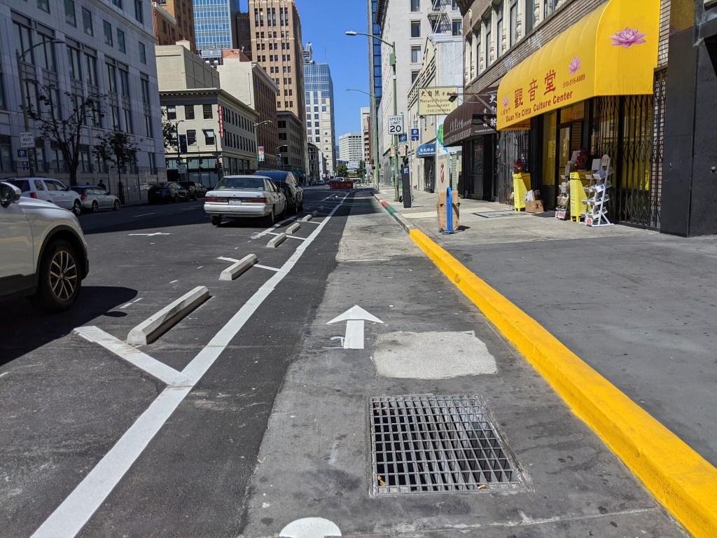
The plan for West Street calls for widening it so it can continue to serve as a feeder road to the interstate — and a barrier to walking. Smoker walks us through the design:
Check out this traffic pattern. The two dedicated left turn lanes on West, the ones that started at New York Street, cross over the south bound lanes of West Street creating a block long contraflow leading to an otherwise unrestricted inside turn, always works out great as a human or someone traveling by bike. The landscape medians, the small signs that life exists in this area, are otherwise obliterated and replaced with…umm…red area. Automobiles traveling southbound become the middle lanes of a traffic engineer’s boyhood dream. After getting through that mess, you will notice that we are introduced to a dedicated right turn lane from vehicles traveling east on New York Street to Southbound West Street. Don’t worry, DPW made sure it was a wide enough turn that cars need not hesitate as they motor through. Another item that always works out well for humans.
Speaking of humans, check out those great pedestrian refuges. Hopefully they put some picnic furniture to enjoy these spaces next to the highway. Can anyone else picture a cheesy drawing from 1950 promoting one of these highway-side rest stops? On the north side of Michigan, you see the twin of the aforementioned right turn lane, for vehicles traveling south on West Street, turning onto West Michigan. The existing bike lane along Michigan becomes a separated bike lane/multi-use path (a great idea), but not before it is channeled into the pedestrian refuge and jogged across the dedicated turn lane where cars will very likely stop and yield for humans.
Wait a second. How do humans cross Michigan on the west side of West Street? What’s that? Oh, they can’t? Okay. I thought I was reading the plans wrong. Did we at least retain all existing movements for vehicles? We did? What? Oh, we actually expanded those? Okay. Freedom of choice and stuff.
Smoker concludes that “in a long fought effort to improve New York and Michigan Streets, we are now provided an impossible barrier for humans to cross, paid for by many of those humans.”
Elsewhere on the Network today: The Urbanist explains how Seattle’s new mandatory affordable housing program will work. Bike Portland offers three suggestions for how to figure out the appropriate price for residential parking permits. And Better Cities & Towns! writes about the premium on walkable neighborhoods in Austin, Texas.

Read More:
Streetsblog has migrated to a new comment system. New commenters can register directly in the comments section of any article. Returning commenters: your previous comments and display name have been preserved, but you'll need to reclaim your account by clicking "Forgot your password?" on the sign-in form, entering your email, and following the verification link to set a new password — this is required because passwords could not be carried over during the migration. For questions, contact tips@streetsblog.org.