Caltrans District 4 Holds Community Workshop on Bicycle Plan

For many years, cities have refused to consider bicycle and pedestrian improvements on or across state-owned highways—which frequently run right through cities. The stated reason is that Caltrans controls those streets and won’t allow changes that might slow or impede car traffic.
That’s supposed to be changing. The recent California State Bicycle and Pedestrian Plan outlines policies supporting Caltrans’ new goals to shift towards being a “transportation department” and away from a “highway department.” And Caltrans District 4, which encompasses the nine-county Bay Area, is working on a regional bike plan that lists specific problem areas and proposed solutions.
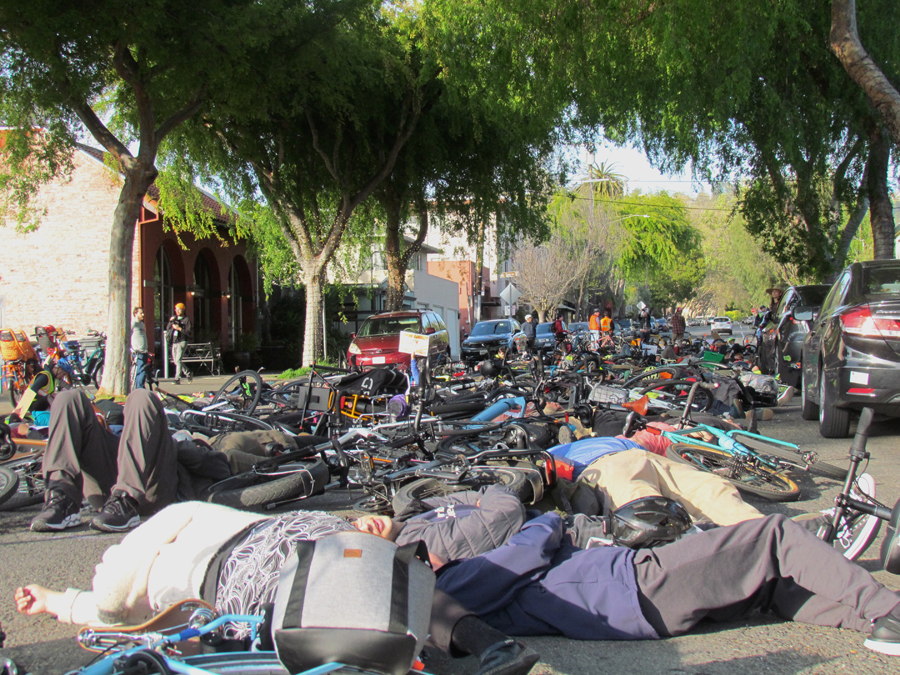
District planners held an open house last night to present the plan, but the information was general–project lists have not been completed and were not available for discussion. Instead, presenters got attendees to vote, using hand-held devices, on whether certain types of projects—for example, green-painted bike lanes—make them feel more or less comfortable as bike riders.
It wasn’t an utterly useless exercise. But a robust discussion of actual proposed improvements might have been a better use of everyone’s time.
At the workshop, planners said specific project lists, with maps, will be available on the District 4 website before a webinar on November 30 for those who couldn’t make it to the in-person open house. Public comment will be accepted until some unspecified time in December.
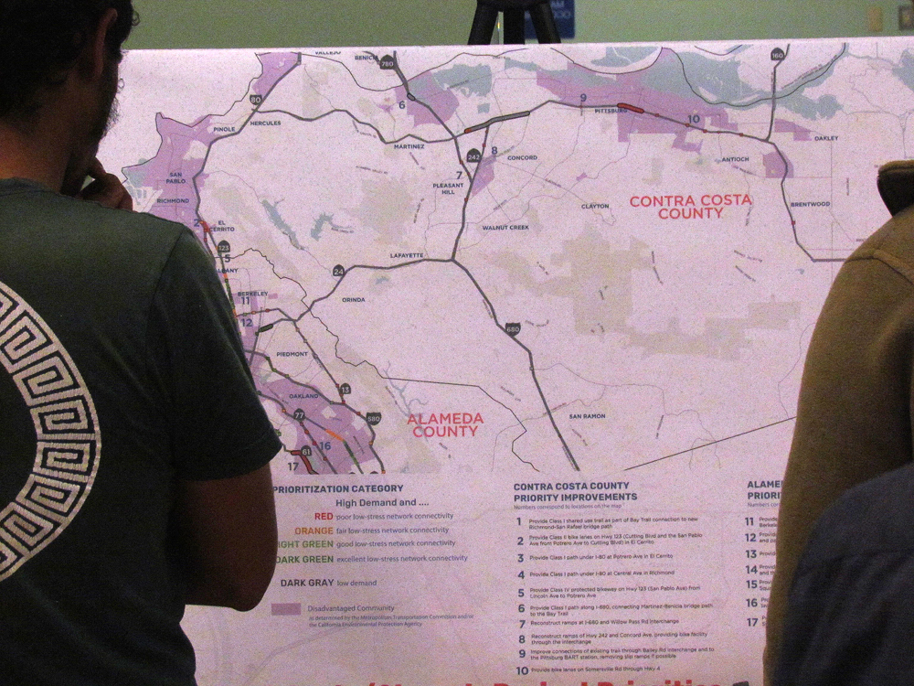
The final District 4 bike plan will basically be these project lists, available online for use by Caltrans and the public—and the local jurisdictions. The plan will prioritize projects by county, scoring them against a rubric that includes how much demand there is for them, as measured by the regional travel demand model combined with information from a public survey; existing quality of or level of stress for bicyclists on the facility; project quality, or how much it would improve the level of stress; and equity, or whether it benefits or is located within a disadvantaged community or “community of concern,” as defined by the MTC.
The projects must be consistent with local plans—like city or county bike or active transportation plans—as well as with state plans such as the State Highway Operation and Protection Program, which requires Complete Streets elements, and the State Highway Asset Management Plan. The District 4 Bicycle Plan serves to identify “complete streets assets” for the latter plan.
Local jurisdictions that have plans for improving highway crossings—on places like 19th Avenue in San Francisco and Ashby Avenue in Berkeley—should be making sure their plans are reflected in Caltrans’ bike plan, and should be coordinating with District 4 to get those projects completed.

Read More:
Streetsblog has migrated to a new comment system. New commenters can register directly in the comments section of any article. Returning commenters: your previous comments and display name have been preserved, but you'll need to reclaim your account by clicking "Forgot your password?" on the sign-in form, entering your email, and following the verification link to set a new password — this is required because passwords could not be carried over during the migration. For questions, contact tips@streetsblog.org.