In Magnetometers We Trust
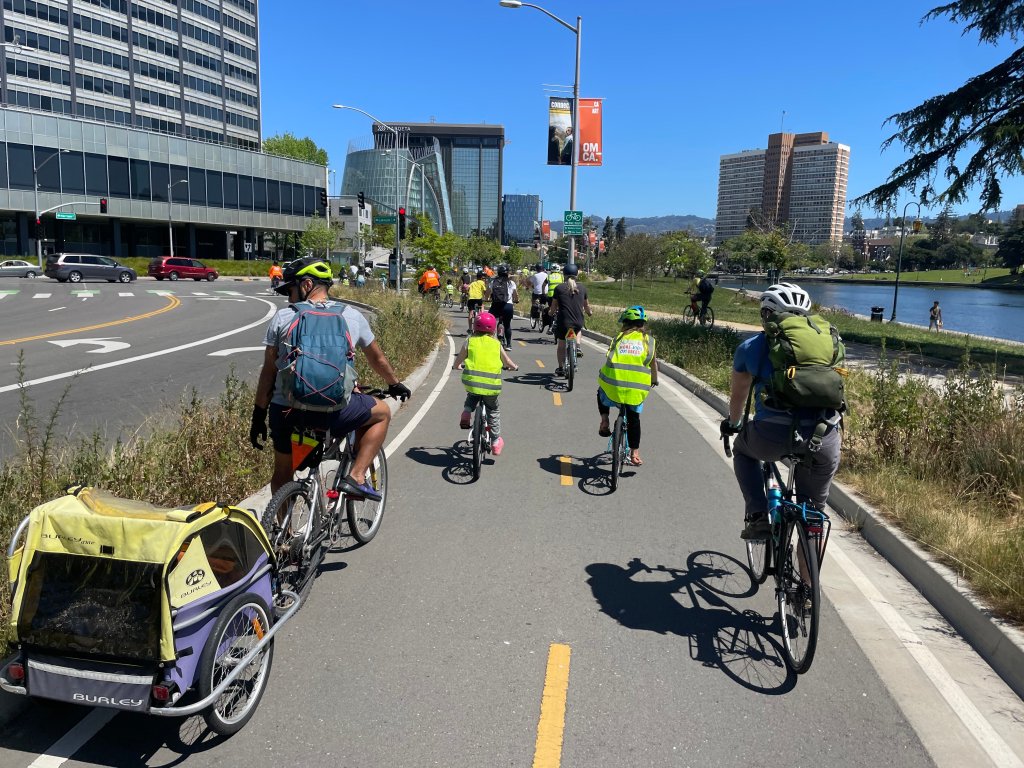
 Streetline parking equipment has already been installed for a pilot in Hayes Valley.
San Francisco-based Streetline, Inc. is one of several vendors who will compete for
a contract to install parking occupancy sensors and networking
technology in the SFMTA’s SFPark pilot.
When the SFMTA initiates its baseline parking data collection for
SFPark in late April or early May, the agency will understand parking
and driving patterns clearly for the first time.
“You can’t manage what you can’t measure,” said
UCLA Professor of Urban Planning Donald Shoup. “Occupancy sensors will
allow San Francisco to measure what has never been measured before:
real-time occupancy rates for curb parking. Once city managers
understand what these occupancy sensors can do, they’ll wonder how
they ever got along without them.”
Perhaps the most important impact of the technology will
be its effect on parking enforcement.
Results from a 2006 Port of San
Francisco’s dynamic parking pilot on
1000 metered spaces showed that “enforcement was highly variable and
overall quite low” and as a result only 41% of total parking sessions
were paid (PDF, page 2)(PDF).
SFPark
will employ dedicated parking enforcement officers for the pilot
areas, according to the MTA (the total number unfortunately will depend
on budget cuts). Combined with the precise information available to
parking managers to target scofflaws, compliance with parking rules
should improve dramatically.
Streetline’s parking occupancy sensors are four inches square, closely resembling Bott’s dots, and are glued to the pavement at the traffic edge of a parking space. Inside each are various sensors, including magnetometers that sense ferrous metal within a five-foot radius and therefore can detect both stationary and moving vehicles within their range. With two double-A batteries in each unit, they stay charged between five and ten years.
“Think of it like our senses: you see, hear and smell stuff, you
process it, then you know stuff,” said Streetline CEO Tod Dykstra. If
any of your senses aren’t working, he suggested, you inhibit your
processing capability, and you have an inferior understanding of the
way a system functions, let alone how it should function.
The sensors network wirelessly with radio equipment installed in single-space or multi-space meters, a combination that allows parking managers to obtain real-time parking-space occupancy readings, payment activity, and meter functionality.
The meters and sensors link to a transmission box, typically mounted on light poles every few blocks, which transmits data to the company’s servers. Every piece of equipment in the network is a peer, so that interference disrupting the connection between two units can be bypassed to another to ensure data is still being collected. Streetline boasts 99.9% effectiveness, better than cellular networks.
 Image of the Streetline network. Click to enlarge.
The radio equipment installed in meters can help prevent fraud by determining whether or not coins have been completely inserted or whether they are being fished out by opportunistic meter thieves (Streetline engineers have identified patterns of abuse from the pilot they run with the Los Angeles DOT on 500 meters there).
Additionally, parking managers will have real-time data transmitted to their central command, which they will be able to print out on a map to make for efficient dispatching of meter technicians to jammed or malfunctioning meters. Currently in most cities, troubleshooting has to be done by manual sweeps of meters or by relying on a good Samaritan to report a broken unit.
Dykstra expects the user’s experience of parking information to be simple and intuitive. Google Map mash-ups showing block-by-block parking availability will eventually be accessible on websites, mobile devices, and through vehicle navigation systems. For users who do not have access to navigation and GPS, the city would also install directional signs leading to available parking.
Photos: Matthew Roth and Streetline, Inc

Streetsblog has migrated to a new comment system. New commenters can register directly in the comments section of any article. Returning commenters: your previous comments and display name have been preserved, but you'll need to reclaim your account by clicking "Forgot your password?" on the sign-in form, entering your email, and following the verification link to set a new password — this is required because passwords could not be carried over during the migration. For questions, contact tips@streetsblog.org.