"Using the latest digital mapping technologies, “Local Code” documents the location and character of 1,500 City-owned “remnant parcels” in San Francisco. Conceived of by UC Berkeley professor Nicholas de Monchaux, the project uses geospatial analysis and parametric modeling to provide tools for citizens to transform these derelict pockets of public space into useful and beautiful places that, when combined, could contribute significantly to the City’s larger sustainability goals."
Events
SPUR Lunchtime Forum: Local Codes: Mapping and transforming the city’s forgotten public space
Stay in touch
Sign up for our free newsletter
More from Streetsblog San Francisco
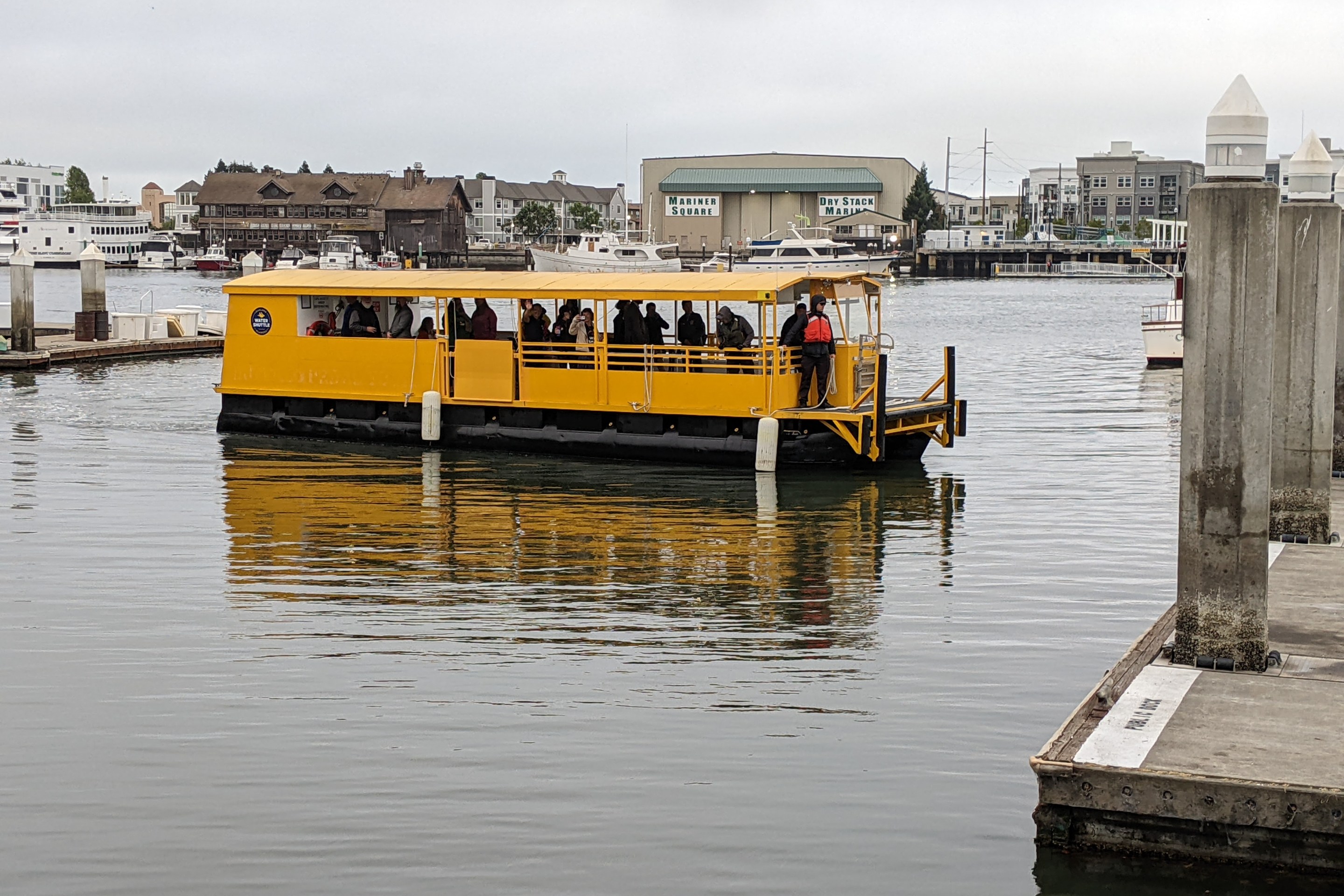
‘Safety Incident’ Temporarily Suspends Alameda Water Shuttle
Boat back in service Tuesday, on a new winter schedule


