Tomorrow: Help Envision Better Streets Connecting to Heron’s Head Park
Tomorrow the SF Planning Department is putting on the first in a series of walks as part of its new Green Connections project, an effort to improve access to parks making better use of city streets.
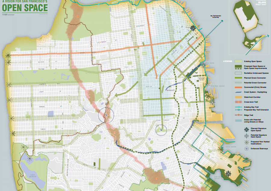
The intent of the program, according to the department’s website, is to create “a citywide network of green streets that can be built over time, improving pedestrian and bicycle access to parks, open space and the waterfront.”
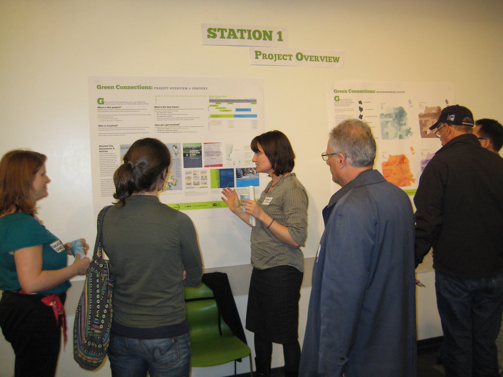
At a kick-off meeting last month, planning department staff began collecting feedback and showing how traffic calming and greening techniques could be included in the plans. On tomorrow’s walk, you can tell planners what you like and don’t like about the pedestrian environment en route to Heron’s Head Park near Hunter’s Point.
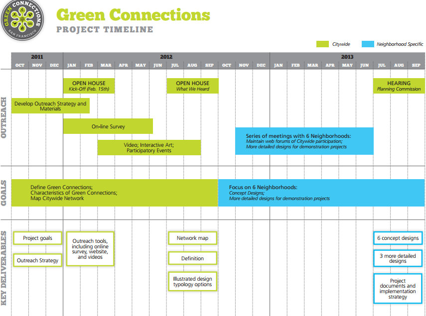
Planners will use the walks and other public events to engage communities in shaping the Green Connections project, and by late 2013 they hope to finish conceptual designs in six neighborhoods: Chinatown, the Tenderloin, the Western Addition, Potrero Hill, Visitacion Valley, and Bayview-Hunter’s Point.
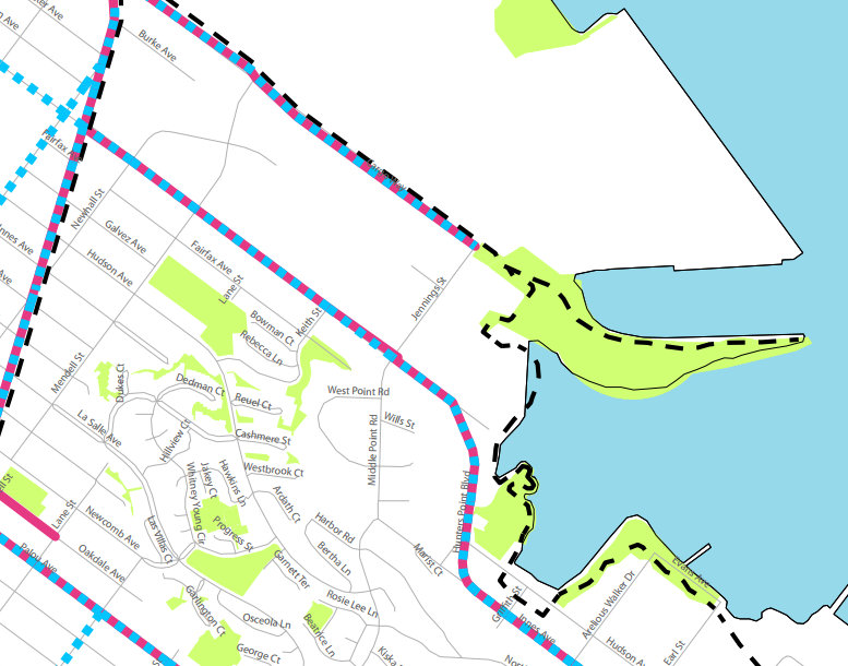
Tomorrow’s two-hour walk meets at 1 p.m. the EcoCenter at Heron’s Head Park at 32 Jennings Street (coincidentally at the east end of Cargo Way, where crews are currently constructing a two-way protected bikeway).
Check out all the project materials from the kick-off meeting on the Green Connections website, and see highlights after the break.

Read More:
Streetsblog has migrated to a new comment system. New commenters can register directly in the comments section of any article. Returning commenters: your previous comments and display name have been preserved, but you'll need to reclaim your account by clicking "Forgot your password?" on the sign-in form, entering your email, and following the verification link to set a new password — this is required because passwords could not be carried over during the migration. For questions, contact tips@streetsblog.org.