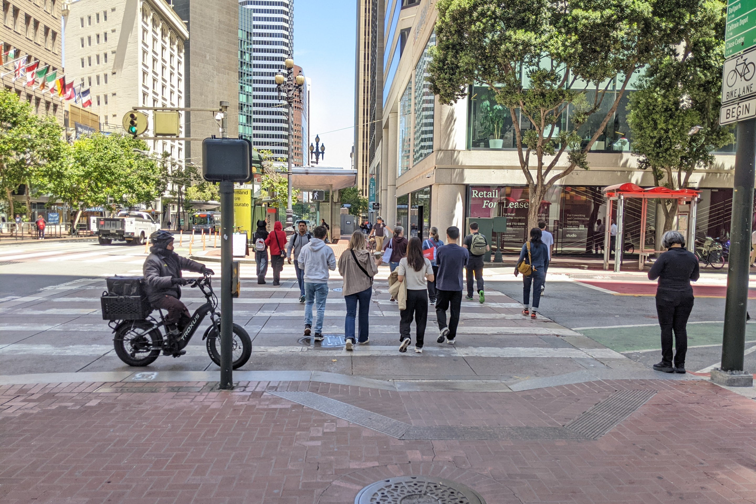
Betsey Emmons, a fellow at MapStory, has created an interactive map showing the history of San Francisco’s bicycle network. The map allows viewers to watch as San Francisco’s bike infrastructure develops over a 43-year period, showing streets that now feature bike lanes and sharrows.
This story begins in 1971, when the first designated bicycle lane was striped on Lake Street, between 10th and 13th Avenues in the Inner Richmond. This was an early political victory for the SF Bicycle Coalition, which had just been formed by a small group of grassroots activists.
What's not visible on the map are the bike lanes that almost came to be. As recounted in a 2011 issue [PDF] of SFBC's Tube Times magazine, the Board of Supervisors in 1972 approved a plan for parking-protected bike lanes on upper Market Street, but the head of the Department of Public Works put a stop to it. Save for the occasional two-block long bike lane, the momentum for bicycle infrastructure didn't really pick up speed until the late 1990s.
There was a notable milestone in which an anti-bike lane department head didn't get his way. The Valencia Street road diet was implemented in 1999, which added bike lanes despite opposition from Bill Maher, then the executive director of the Department of Parking and Traffic. The lower Market bike lanes were also installed west of Eighth Street in the early 2000s, along the curbs where car parking used to be.
The map shows a noticeable lull in bike lane expansion beginning in 2006, when the bike injunction was imposed by the San Francisco Superior Court, in response to a lawsuit which successfully argued that the Bike Plan needed more environmental review. No bicycle infrastructure -- not even bike racks -- were permitted in SF until the injunction was lifted in 2010. The backlog of projects is displayed in an explosion of bike lanes thereafter.
Emmons, who lives in Washington, DC, has completed maps for New York City, DC, and Portland. She told Streetsblog NYC that she wants to use these time-based maps to help tell the story of how bike networks have grown and where they are headed. Cities that make provide easily-accesible data about bike lane implementation make it particularly easy.
MapStory is currently a public prototype. The organization is aiming for a full release in the fall, where users will be able to comment on and edit other users’ maps.


