New Study Analyzes Traffic Around Former Central Freeway
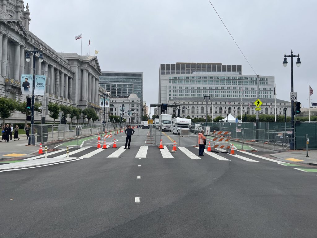
The Central Freeway sections damaged by the Loma Prieta Earthquake in 1989 have been replaced by such a distinctive Octavia Boulevard, for many San Franciscans the double-decked behemoth that used to dominate the neighborhood has become a distant memory. Most of the traffic the freeway carried, however, has not disappeared and now city planners are tracking its displacement on city streets and devising scenarios for reducing it to make surrounding neighborhoods more hospitable to transit, pedestrians and cyclists.
The San Francisco County Transportation Authority (SFCTA) this week released baseline traffic information as part of the ongoing Central Freeway and Octavia Circulation Study and proposed solutions for improving the situation locally and regionally [pdf].
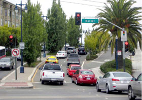
The most obvious finding in the study is that traffic levels, while somewhat reduced on Octavia Boulevard itself since the freeway came down, nonetheless continue to choke the study neighborhoods and affect numerous areas further afield.
The Central Freeway Circulation study area is roughly from Noe Street and 18th Street to the southwest, up to Turk Street and Franklin Street to the northeast, with some of the numbered streets in SOMA to the east and as far as Scott Street to the west. The neighborhoods include Hayes Valley, SOMA, The Mission, Duboce Triangle, Civic Center and the Upper Market/Castro, though it also attempts to measure impacts in neighborhoods as far south as Glen Park and the Mission, which have been dealing with commuter traffic that started using detour routes like San Jose Avenue and Guerrero Street to access downtown after the earthquake.
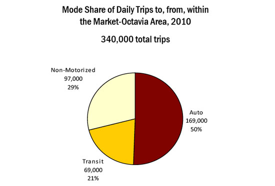
Despite the ubiquity of transit lines serving the Market Street/Octavia and Hayes Valley neighborhoods, most people traveling to and through the area use a car. While slightly below the city average for auto trips (59 percent), 50 percent of the study area’s 340,000 daily trips are by car, 21 percent by transit, and 29 percent by foot or bicycle.
“This study is like a microcosm of the city’s challenges,” said Tilly Chang, SFCTA Deputy Director for Planning. “If you look at mode share, it’s under-performing even the citywide average in terms of auto modes and non-auto modes.”
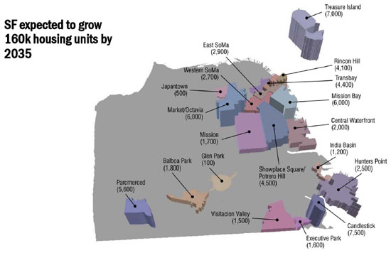
There are two reasons transit is not more attractive, according to Chang: the traffic, and the crowding on buses and trains, especially as they reach the study area. Viewed in the context of projected job and housing growth through 2035, the area will only get more crowded, both with regional and local trips.
At its first public workshop on the study this Monday, SFCTA staff highlighted how regional traffic patterns affect the local neighborhood, given all the vehicular traffic that uses Fell and Oak Streets to access the western neighborhoods and Franklin and Gough Streets to access the northern neighborhoods, just as it did when the freeways were present.
Though traffic volumes on Octavia Boulevard itself are between 50 to 60 percent of traffic volumes on the old freeway, attendees at the meeting argued much of the traffic dividend had been pushed to smaller streets, where rush hour backups can be severe and cause delays to Muni and create conflicts with pedestrians and cyclists.
After the presentation and initial discussion, workshop attendees broke into working groups and discussed possible improvements in broad categories, including:
- Circulation improvements
- Transit network improvements
- Pedestrian and bicycle projects
- Intersection and “hot-spot” projects
- Policy and programmatic strategies
Within these broader areas, participants were asked to discuss a long list of projects [pdf], some of them already planned and programmed by city agencies, others more distant opportunities should funding and political support be secured.
Based on feedback from public workshops and presentations, discussions with partner city agencies, and a design charrette the SFCTA expects to hold this winter, the agency will develop three priority projects to design and slot into the grant funding pipeline in 2011.
Jason Henderson, a professor of geography at San Francisco State University and a representative of the Hayes Valley Neighborhood Association (HVNA), thought the presentation and the study were on the right track, but he critiqued the SFCTA for not collecting more data during the morning rush hours and on weekends, which he said were dominated by traffic nearly as much as the evening peak period.
“If they would just take the rest of the freeway down, we wouldn’t have this problem,” said Henderson, smiling.
Chang said they weren’t explicitly analyzing the further removal of the freeway to Highway 101 in the scope of this study, but that it would be considered in the context of the 30-year San Francisco Transportation Plan. “We will have to look at that in the context of a larger citywide plan,” she said.
Over the next several months, the SFCTA will hold several more presentations for interested community groups, including one during the HVNA General Meeting on October 28th.

Streetsblog has migrated to a new comment system. New commenters can register directly in the comments section of any article. Returning commenters: your previous comments and display name have been preserved, but you'll need to reclaim your account by clicking "Forgot your password?" on the sign-in form, entering your email, and following the verification link to set a new password — this is required because passwords could not be carried over during the migration. For questions, contact tips@streetsblog.org.