Mapping a Fully Transit-Connected Bay Area

Imagine the freedom of being able to hop on a nearby train or bus to reach virtually any place in the Bay Area (and beyond) on an integrated network of reliable transit.
That's the vision cartographer Brian Stokle sought to lay out in a map featured in the latest issue of SPUR's monthly magazine, The Urbanist. In a recent article in The Atlantic Cities, Urbanist editor Allison Arieff says that the map, along with another map of existing regional transit that Stokle created, "have generated a lot of conversation (and some controversy) — which is exactly what they were meant to do":
The majority of the projects, routes, and modes shown in Stokle’s proposed “Future” map (or some might argue, “Utopian”) reflect current Bay Area planning. However in some cases, the mode or route has been changed. In other instances, some new routes have been suggested. For example, BART to Livermore and Dumbarton Rail are two projects that are not included in this map. Instead, access to Livermore from BART is provided by bus rapid transit, and the Dumbarton corridor is served by rapid bus service. New projects that are not currently part of planning, or are in their early phases include projects like the Oakland Emeryville streetcar down Broadway, Capitol Corridor crossing at Vallejo, and 101 Rapid in the Peninsula.
Some ideas are old, some more novel. In San Francisco, the controversial Central Subway (now under construction) is shown extending all the way to Lombard and Van Ness to meet the coming BRT line, which is also extended to connect the Transbay Terminal to Marin County via the Golden Gate Bridge (where a BART line was fought off in the 60's).
What would it take to bring a comprehensive vision like this into reality, and which projects could be feasibly built? Regional planners are currently figuring that out as they develop the Bay Area's 25-year Sustainable Communities Strategy and Regional Transportation Plan. Next month, staff from the Metropolitan Transportation Commission, the Bay Area's transportation financing agency, will present a list of the transit projects they determine to be the most beneficial and cost-effective to build in the coming years. Stay tuned to Streetsblog for more on that.
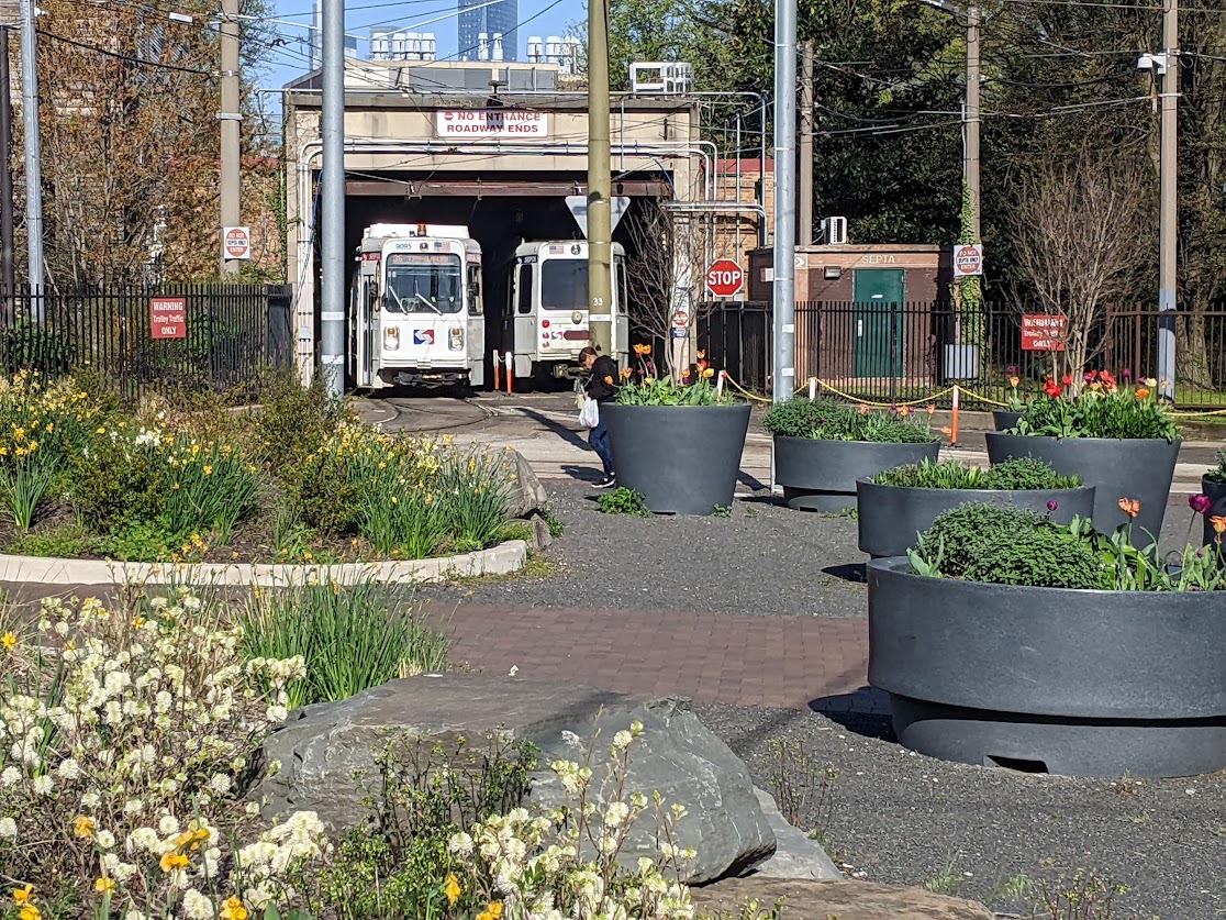
In the meantime, check out Stokle's map of the existing regional transit network -- one of SPUR's ideas for saving transit -- after the break.
For some more wonky urban planning treats, head over to Stokle's blog Urban Life Signs to check out his other creations, like illustrations of Valencia Street's various incarnations over the past 129 years.
Stay in touch
Sign up for our free newsletter
More from Streetsblog San Francisco
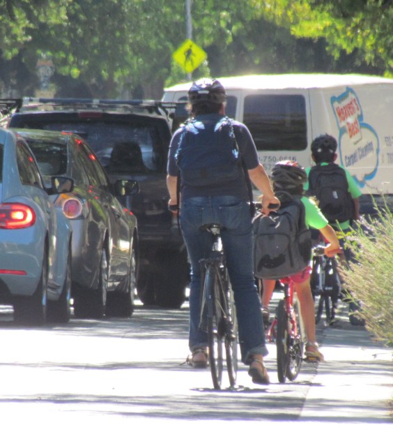
Streetsblog SF editor Roger Rudick offers constructive criticism of Chicago’s downtown bike network
"There were blocks that felt very safe and very secure," he said. "But then you're immediately – voom! – disgorged into three lanes of moving traffic with no protection."
Commentary: There is Zero Ambiguity to the West Portal Tragedy
What happened in West Portal was entirely predictable and preventable. The city must now close Ulloa to through traffic and make sure it can never happen again