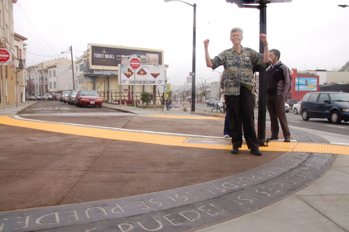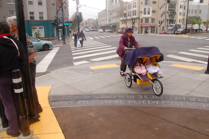
Western Cesar Chavez Street has been transformed after decades as a dangerous motor vehicle speedway that divided the Mission and Bernal Heights neighborhoods. City officials cut the ribbon today on a redesign of the street, nearly nine years after residents began pushing for safety improvements.
Cesar Chavez was widened in the 1930s and 40s at the expense of safety and livability to serve as a thoroughfare from the 101 and 280 freeways to a planned Mission Freeway that was never built. As a result, it became a virtual no-man's land for walking and biking, and crossing the street was a huge risk.
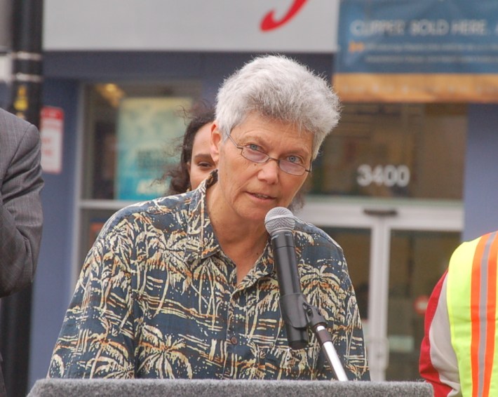
"Our neighborhoods were cut in two by this dangerous street that was in no way worthy of the man it was named after," said Fran Taylor, who helped found CC Puede to push for a redesign of the street. "It's taken a long time, and the efforts of many, but we finally have a Cesar Chavez Street to be proud of."
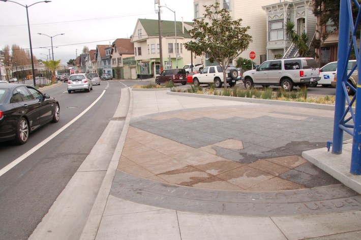
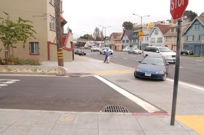
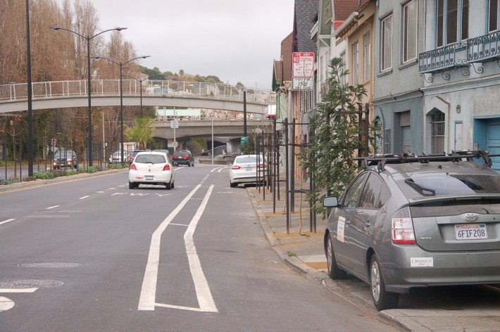
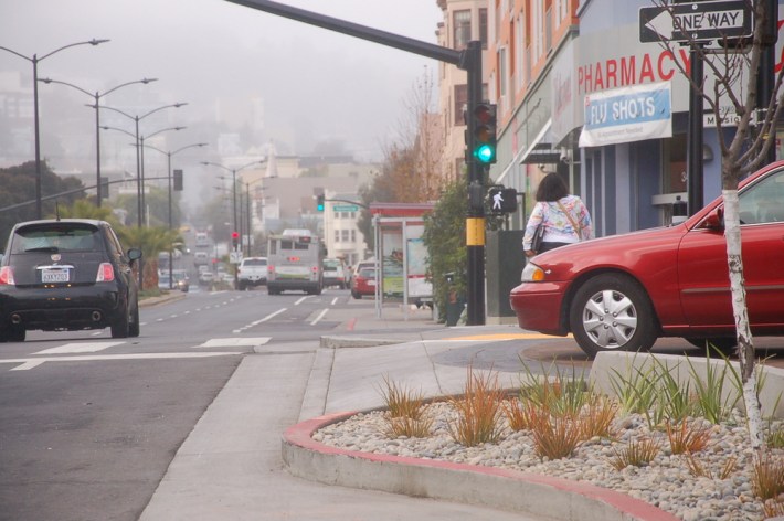
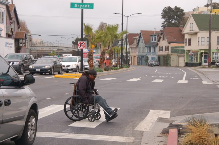
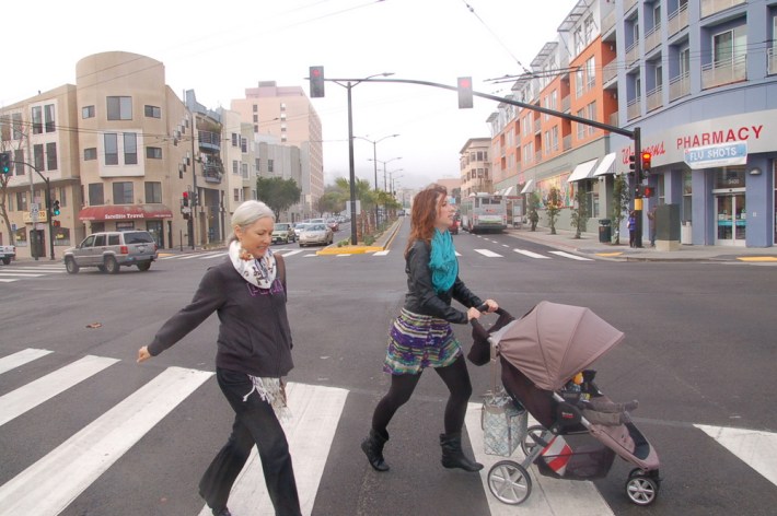
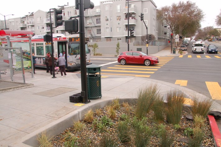
With the redesign, the six traffic lanes on Cesar Chavez (known as Army Street until the nineties) were reduced to four. In place of those two lanes are unprotected bike lanes, bulb-outs with rain gardens, and a center median lined with palm trees. With fresh pavement and markings like continental crosswalks, the treatments have made the street calmer and more habitable for people.
The ribbon cutting was held on Si Se Puede! Plaza, which was created at the northeast corner of Cesar Chavez and Mission Street, where Capp Street ends. Drivers can still pass through at the end of Capp, but permeable, textured pavement raised to sidewalk level signals that they are guests.
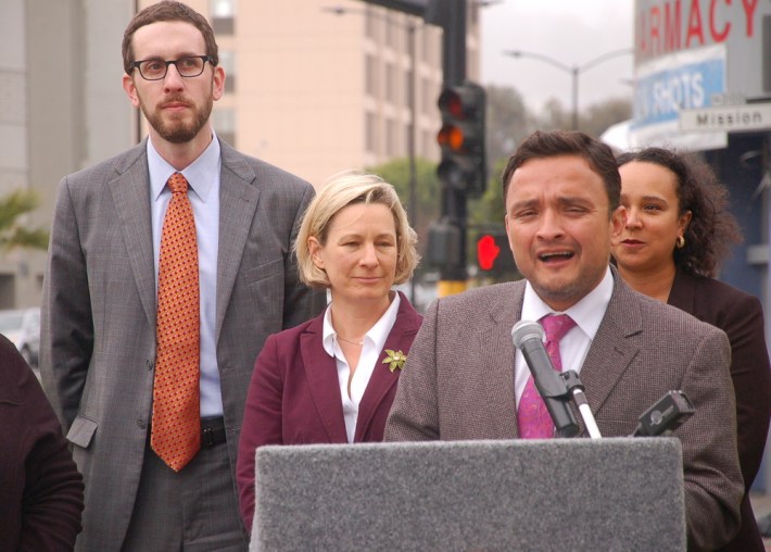
"We finally have a street that's going to protect families and reflects what we value, which is safety, first and foremost," said D9 Supervisor David Campos, whose district includes Cesar Chavez. "It took longer than it should have."
The project snowballed from a simple re-paving planned by Department of Public Works into a full redesign as residents pushed for safety improvements, and city agencies sought to coordinate those changes with the re-pave to save costs. Andres Power was the project manager for the Planning Department until 2012, when he became an aide for Supervisor Scott Wiener.
"On one hand, it's unbelievable that it takes this long to get anything like this done. On the other hand, it's such a transformative project, and I think the wait was well worth it," said Power. "We wanted to do something that was not just a street project, that was about bringing the neighborhood together, and encouraging people to use the street outside of their cars."
"The Cesar Chavez improvements are a testament to the power that neighbors and residents have in transforming their streets," said Kristin Smith, communications director for the SF Bicycle Coalition. "It's also an example of what happens when city agencies work together. The project can now serve as a model for other neighborhood campaigns to tame large, unsafe streets."
The Cesar Chavez bike lanes are not physically protected, like those being planned on other streets in the city. Taylor said that while the outcome wasn't ideal for bicycling, it's a substantial improvement that came out of a hard-fought battle. The redesign was planned at a time when city agencies hadn't yet embraced the idea of protected lanes in the way that they seem to now. "Protected bike lanes were not in the vocabulary," said Taylor.
During the long planning process for the Cesar Chavez redesign, there was stiff resistance to removing traffic lanes in some quarters, as is typical. "There were all these predictions that we were going to have carmageddon," said Supervisor Wiener at the ribbon cutting, as cars and trucks moved by at a smooth but calmer pace than in the past. "Time and again, we hear the same thing, and it doesn't happen. We can have streets that are safe for everyone to use."
Taylor said CC Puede was formed after a particularly tragic crash in 2005 in which two children, a brother and sister, were hit by a truck driver on Cesar Chavez while walking home to the Bernal Dwellings from the Precita Community Center. "The girl missed a year of school," she said.
In 1947, when 44 residential buildings were moved to widen the street for cars, it was DPW that ordered the evictions, said Taylor. "So it's fitting that today, the Department of Public Works is the lead agency in improving the walkability for current residents."
Campos said the city needs to implement more redesigns like Cesar Chavez to end traffic deaths, as called for in Vision Zero, which is gaining steam at City Hall. Noting the recent spate of pedestrian deaths and injuries, including the New Year's Eve death of six-year-old Sofia Liu at Polk and Ellis Streets, he said, "There are really no words that you can put forward to make sense of that. I think the only thing we can do for the people that have died in the last few weeks is to make a commitment to make sure that a death of that nature never happens again in San Francisco."
Susie Smith, who lives near Cesar Chavez, recently produced this documentary on the street's history called "People Live Here":
