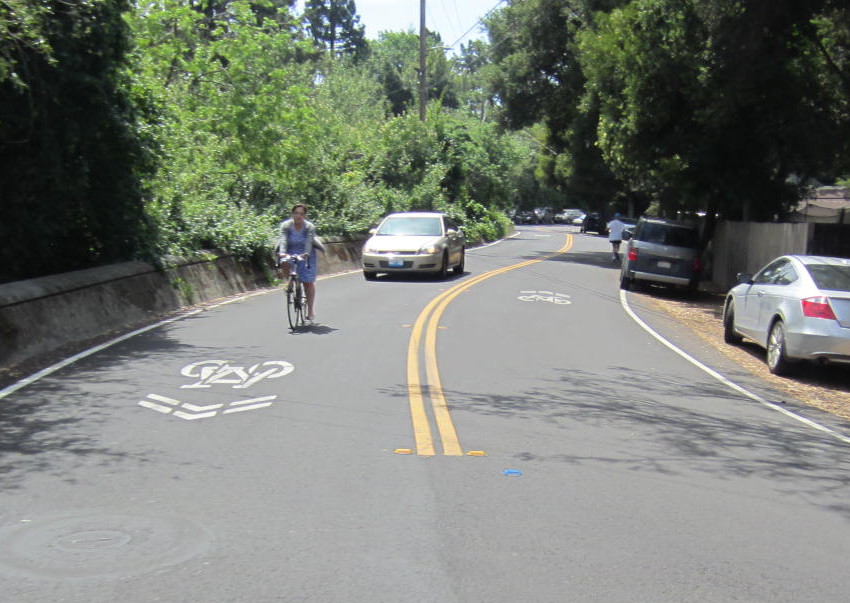
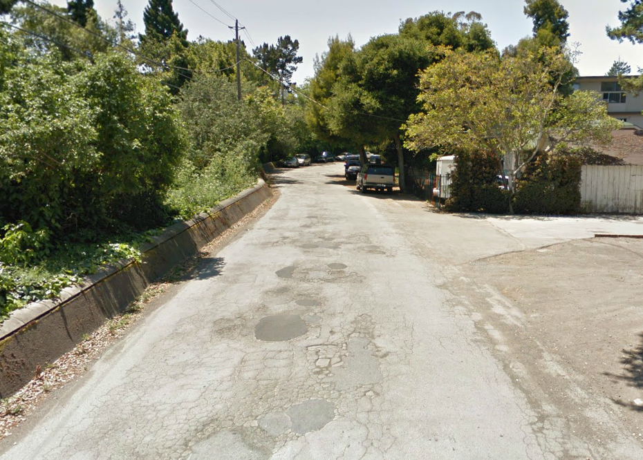
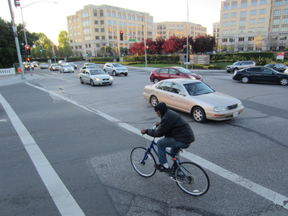
When East Palo Alto repaved Woodland Avenue between Newell Avenue and West Bayshore Road in late March, one half-mile of the city's bumpiest pothole-filled street was suddenly transformed into its smoothest one, complete with new striping and well-placed sharrows on top. City planners hope the sharrows will help residents bike and drive more predictably on Woodland's streets, almost all of which are too narrow to accommodate both parallel-parked cars and bike lanes.
They may just be stencils, but the new sharrows are the first in East Palo Alto, and the very first bicycle infrastructure of any kind in the high-density Woodland neighborhood west of Highway 101. Most of the city's multi-family housing has been built in this narrow slice of land that San Mateo County allowed developers to build without sidewalks, before the area incorporated and became part of East Palo Alto.
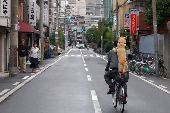
High population density, poor transit service, narrow streets, and missing sidewalks mean that people walking or bicycling must share the road with car traffic volumes that are very high for a residential neighborhood. Woodland Avenue carries 3,300 cars per day, including a significant proportion of cut-through traffic comprising drivers seeking a faster route to Highway 101 than University Avenue during the evening rush hour.
The city was awarded a $109,000 state grant in November 2013 to install sidewalks and sharrows on Scofield Avenue, but only on the westernmost 300 feet of the street between University Avenue and Capitol Avenue. Some East Palo Alto streets located west of University Avenue will also benefit from new striping and sharrows as part of a joint project with Menlo Park, which was awarded a $395,000 grant from the SMCTA's Measure A Ped/Bike Program in early April. Most of those funds will be used to construct sidewalks on O'Conner Street and Menalto Avenue, which are still missing them because this was the last area to be incorporated into Menlo Park.
East Palo Alto also submitted its own $235,000 "Woodland Neighborhood Bicycle and Pedestrian Connectivity Project" grant application to this year's Measure A Ped/Bike Program. The funds would be used to construct Scofield Avenue sidewalks another 450 feet from Capitol Avenue to Cooley Avenue and install sharrows there and on several nearby streets, including Newell Road, Cooley Avenue, West Bayshore Road, and Woodland Avenue from University Avenue to Newell Road. Unfortunately, that application was disqualified by SMCTA staff because it was received after the January 17 deadline.
Because it missed the Measure A funding opportunity, East Palo Alto plans to apply for funds from California's new Active Transportation Program, which in September 2013 combined several sources of state and federal bike/ped funding into a competitive grant program. Applications are due on May 21 for the statewide part of the program, in which all cities (and many other government agencies) in California are eligible to compete for $180 million in funds. Cities in the San Francisco Bay Area will then have until July 24 to submit any other project applications to compete for an additional $30 million in funds.
East Palo Alto also plans to apply for an ATP grant to complete the engineering design and environmental review phases for a planned bike/ped bridge over Highway 101 at Newell Road/Clarke Avenue, the city's highest-priority project for improving walking and bicycling.