Planning for the Future of San Francisco’s Hub Neighborhood
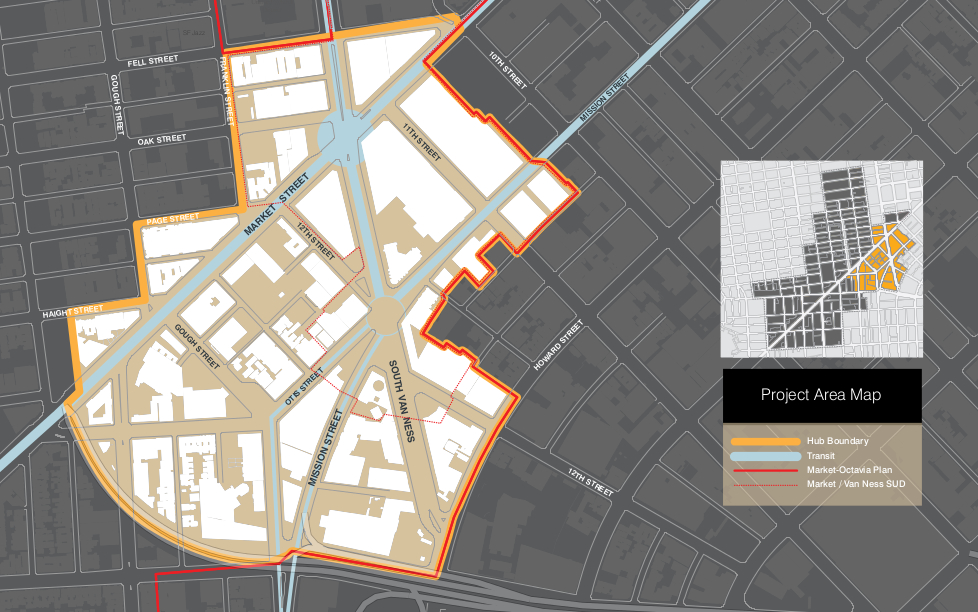
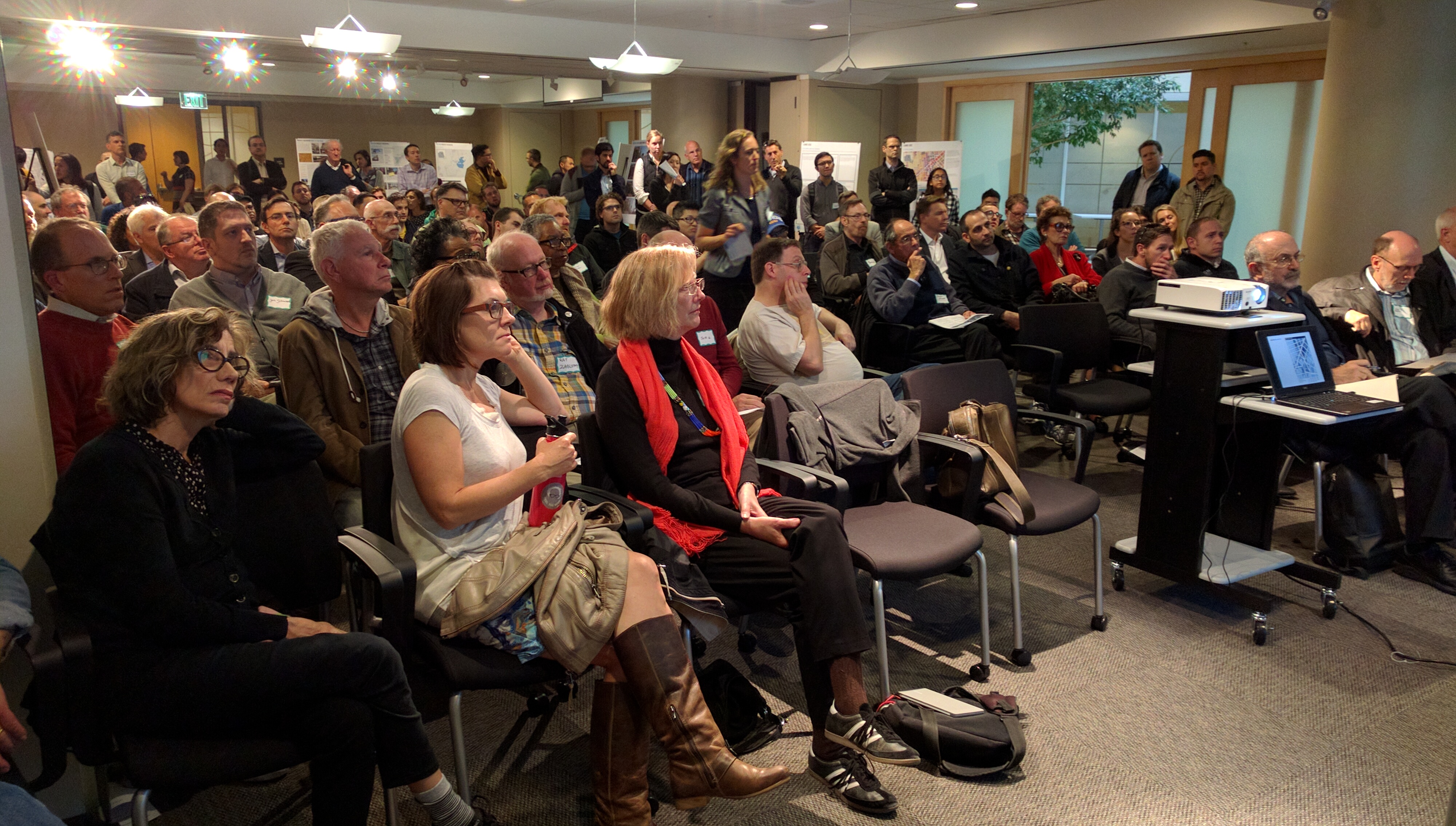
About a hundred planners, developers, neighbors, and interested citizens crowded into a conference room at One South Van Ness yesterday evening for a presentation from the San Francisco Planning Department on their plans for the area immediately around the intersection of Market and Van Ness, also known as the Hub.
The Hub, of course, got its name back in the 1800s, when four trolley lines converged there. And, as John Rahaim, Planning Director for San Francisco, reminded everyone at the start of the meeting, it remains a major transit hub for bikes, Muni trains and buses, and BART.
“We felt it was time to take a fresh look at this portion of the plan,” he said to the group, noting the the Hub neighborhood is also part of the larger Market and Octavia Area Plan adopted in 2008.
So why is the planning department paying special attention to the Hub and, in effect, creating a plan within a plan? Rahaim said they hoped to move more quickly with this area that is such a focus of activity, with its many transit lines, including dedicated Bus Rapid Transit coming to Van Ness, and its proximity to the Opera House and Symphony.
“We felt this part of the plan needed another look to create new open spaces and improve sidewalks,” he explained.
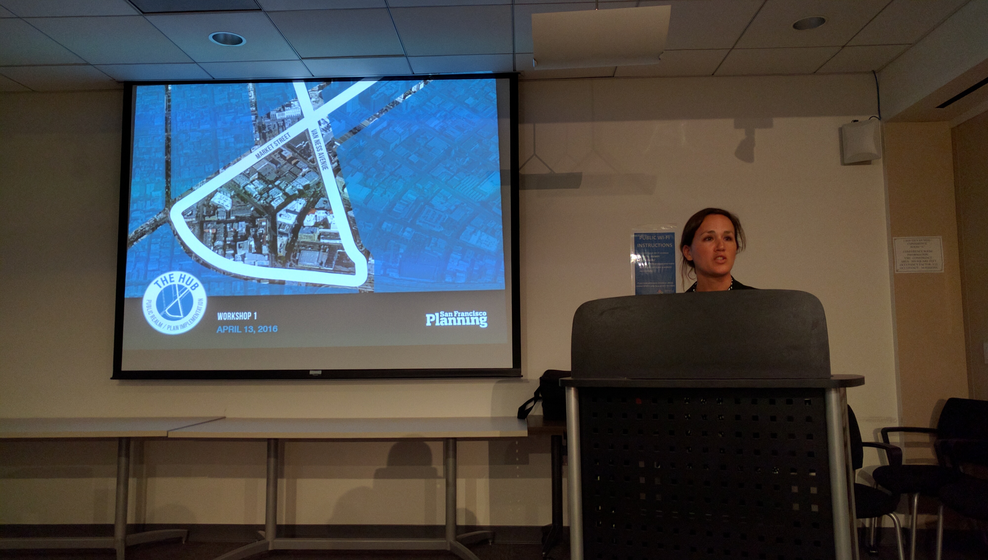
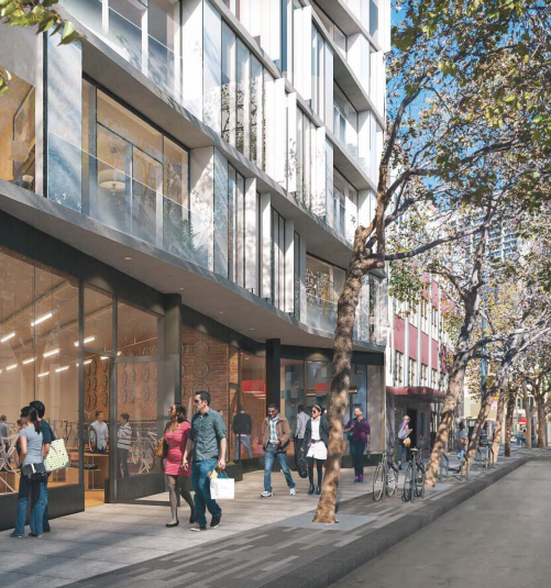
Lily Langlois, another planner with the department, spent about 30 minutes outlining what the city hopes to accomplish. They will increase the amount of affordable housing, enhance the public realm, support the transit enhancements, encourage the arts, and improve the urban form. This last one was quite interesting: Langlois showed renderings of how the buildings in the Hub will change the skyline, as seen from various parts of the city.
Jason Henderson, Chair of the Market & Octavia Community Advisory Committee, brought up the possible demolition of more of the Central Freeway to make room for more housing and pedestrian amenities to feed into the area.
Rahaim didn’t seem to want to go there and said that was a larger discussion. But that invited another audience member to stress the importance of protecting automobile access, saying that the city’s policy of “transit first” can’t be “transit only.” Since, as he said, elderly people from Marin are “still going to drive to the opera.” This got a chorus of groans from the audience, with someone blurting out “we’re not in the 1950s anymore!”
That little bit of tension not withstanding, the audience was generally positive and supportive of the renderings and plans that were presented.
Streetsblog readers can learn about the plan, make their own comments, and find out about future meetings, via the planning department website. They can also download the presentation.

Streetsblog has migrated to a new comment system. New commenters can register directly in the comments section of any article. Returning commenters: your previous comments and display name have been preserved, but you'll need to reclaim your account by clicking "Forgot your password?" on the sign-in form, entering your email, and following the verification link to set a new password — this is required because passwords could not be carried over during the migration. For questions, contact tips@streetsblog.org.