SPUR Talk: Building Resilience into the Waterfront

Note: GJEL Accident Attorneys regularly sponsors coverage on Streetsblog San Francisco and Streetsblog California. Unless noted in the story, GJEL Accident Attorneys is not consulted for the content or editorial direction of the sponsored content.
San Francisco’s waterfront is built on fill and muck, highly susceptible to sea-level rise and earthquakes. The safety of the city all comes down to an aged seawall that holds back the ocean. “In 1877, the state planned and built the Port, with a seawall out into the bay and 500 acres behind it,” explained Steven Reel, with the Engineering Division at the Port of San Francisco “When you look at the flood risk in this area, the fill lands are at higher seismic risk.”
Reel made his comments as part of Wednesday’s panel discussion at SPUR’s San Francisco location. The Port is developing plans to bolster the seawall against earthquakes, protect against sea-level rise, and open up more of its 7.5 miles of waterfront and piers for public use. “There’s been a lot of change over the last 20 years, but there was a realization that we need to do a comprehensive update, so the public has a clear sense in the direction we should be taking these improvements,” said Diane Oshima, Deputy Director, Planning & Environment for the Port, speaking about their draft plan for the future of the waterfront.
As the speakers pointed out, in November 2018 San Francisco voters approved a $425 million general obligation bond for Phase 1 of the Seawall Program, which, according to the Port of San Francisco, will “address the most immediate life safety and flood risks along the Embarcadero.”
“SF earthquake risk is a priority. We live in earthquake country,” said Reel. Second priority: they’re preparing for a three-to-six foot increase in sea level “It’s starting to impact us.” Ultimately, he explained, fixing the seawall is going to be a $5 billion effort that will involve working with the federal Army Corps of Engineers over many decades. Thankfully, some 65 percent of the money will come from the Corps–the problem is any aesthetic or public user considerations have to be fully funded by other sources.
So the question is how to find funds for rehabilitating piers for public use. Part of that, Port officials hope, will come from new businesses setting up shop on the piers, rehabilitating and occupying old warehouses from India Basin all the way to Fisherman’s Wharf. “We want you to be able to get into more of the buildings,” stated Rebecca Benassini, also with the Port of San Francisco. They’ll be encouraging more art, more museums, maker-spaces, retail, and “…anything that invites the public inside.”
So far, they’ve gotten 52 proposals for 14 of the Port’s available piers. The port is whittling that down now. But many of the proposals drop out quickly, she said, when they start to appreciate the full cost of making piers ready and safe for the public. Anyone who uses the space has to make it seismically safe, but also ready for floods–sometimes by something as straight forward as moving wiring up high. “We tell them this is an exciting, unique location–but it’s not cheap.” She cites pier 70 in Dogpatch (seen above) of an example of how they are trying to join history with modern uses and “integrate what we love about the old with new opportunities.”
Oshima, meanwhile, reminded the audience that the port is still operational, and it has to protect ongoing maritime businesses. “The Port sees goods movement and industry, maritime, fishing supplies are all still there and are needed,” she said. “Sometimes that gets forgotten in the transportation discussion; it’s not only about bicycle and pedestrian access.”
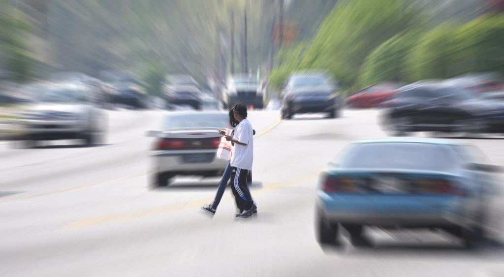
She said they are working with SFMTA to support its vision for “a two-way protected cycle track along the eastside of the Embarcadero which would be in the $30 to $40 million cost range.” But Streetsblog, during a questions period at the end, took her to task for the fact that there are no apparent short-term/quick-fix improvements to the existing bike lanes, over a year after the death of pedicab operator Kevin Manning, who was killed by a driver on the Embarcadero.
She said that was a city project, not a Port project. But that doesn’t explain why the Port can’t, let’s say, give cyclists a path on the promenade, as Vancouver Canada did with its seawall, so they’ll have a place to ride away from traffic in the short term. No new infrastructure is needed, aside from some signs and perhaps planters to demarcate the space. “If there are other ideas for improvements we are all ears,” replied Oshima.
If you have ideas for Oshima, you can email her at diane.oshima [AT] sfport.com.
For more on the Port’s plans for the waterfront, see their update. To comment on the plans, go to the survey website.
For more events like these, visit SPUR’s events page.

Streetsblog has migrated to a new comment system. New commenters can register directly in the comments section of any article. Returning commenters: your previous comments and display name have been preserved, but you'll need to reclaim your account by clicking "Forgot your password?" on the sign-in form, entering your email, and following the verification link to set a new password — this is required because passwords could not be carried over during the migration. For questions, contact tips@streetsblog.org.