SFFD Vetoes ‘Slow Street’ on Holloway
Stir-crazy San Francisco residents celebrated an April announcement that the city would follow Oakland’s lead and close select streets to thru traffic, to make more space available for people to get out and exercise while practicing safe social distancing. But, as the Ingelside Light reported yesterday, Holloway, the only planned ‘slow street’ in the southern most part of the city, just got removed from the plan.
SFMTA confirmed the Light‘s story that the street was taken off the slow streets map because it is “…needed for emergency vehicle access.” Supervisor Ahsha Safaí, whose district includes the south side of Holloway, also said that the fire department vetoed the street. The fire department itself did not respond to Streetsblog’s request for comment.
“We’ve always maintained that the original ‘slow streets’ proposal was a working draft and was subject to change,” wrote SFMTA spokesperson Erica Kato, in an email to Streetsblog playing down the removal.
It’s unclear how a ‘slow street’ treatment, which bans thru traffic with sandwich board signs and traffic cones, could possibly interfere with emergency vehicle access. Firefighter Michael Crehan, who drives ladder trucks in other districts of San Francisco and bikes as his main mode of transportation, wrote in a text to Streetsblog that the department has “…raised no concerns about ‘slow streets’ in the Sunset.”
“Cones are super easy to get around,” he added.
Meanwhile, Safaí, in an email to Streetsblog, wrote that “SFMTA has not done their due diligence” before picking its original ‘slow streets’ routes, faulting them for not reaching out to the fire department before releasing the original map.
Holloway, the COVID-19 crisis not withstanding, is a bicycle corridor between San Francisco State and the Balboa BART station, and it is marked with striped bike lanes and sharrow markings. It’s also a straight, wide open street that invites speeding through the residential neighborhoods it crosses. “During lockdown, with fewer pedestrians and cyclists on the street, I’ve seen cars driving faster and less cautiously,” SFMTA Citizens’ Advisory Committee member Neil Ballard told the Light.
“The City has a poor record of addressing cycling and walking to SF State and Holloway is no exception. So I am not surprised it was removed,” wrote Jason Henderson, geography professor at SF State, advocate and Streetsblog contributor.
Henderson also said that when the COVID crisis ebbs, there will be enormous pressure to change roads around the campus. “When SF State re-opens, transit will be hobbled and there will be mandatory capacity reductions to allow physical distancing on the M Line, the buses on 19th Ave, and BART. SF State shuttles will also need to operate far below capacity at least for a year or two,” he wrote.
“Converting Holloway into a calm cycling street (with only local car access) will be critical to avoid this mobility stalemate. It should be implemented now to point us towards recovery. If it is indeed the fire department throwing up the obstacle, then they are misguided. Their trucks will be stuck in traffic.”
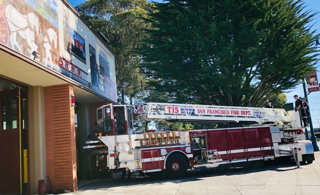
Streetsblog readers will recall the San Francisco Fire Department has a long history of obstructing efforts to make streets, such as Upper Market, Howard, Turk and others, safer for cyclists and pedestrians. The department claimed that safe-street treatments slow down response times and interfere with ladder trucks. However, these claims were debunked by Crehan, who explained that some in the department just don’t want bike lanes and other safety measures to slow their personal car trips.
Henderson argued that fire department objections aren’t the biggest problem. “Politically, the buck stops with the Board of Supervisors. SFMTA pretty much has a political culture of only implementing cycling or pedestrian improvements when the Supervisor signs off. If the Sup wants it, it gets done.”
Streetsblog asked Safaí if he would support a ‘slow streets’ treatment on Holloway if the fire department dropped its objection. “Absolutely” was his reply. Streetsblog also reached out to Supervisor Norman Yee, whose district encompasses the north side of Holloway, but did not receive an immediate reply.

Streetsblog has migrated to a new comment system. New commenters can register directly in the comments section of any article. Returning commenters: your previous comments and display name have been preserved, but you'll need to reclaim your account by clicking "Forgot your password?" on the sign-in form, entering your email, and following the verification link to set a new password — this is required because passwords could not be carried over during the migration. For questions, contact tips@streetsblog.org.