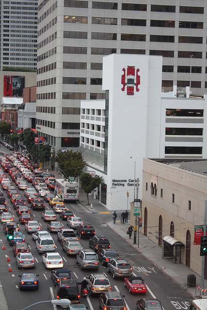
San Francisco's South of Market district will be crippled by gridlock within a generation unless the city makes major improvements to its transit, bicycle, and pedestrian infrastructure and implements policies that entice commuters to travel by means other than driving.
That's according to planners from the SF County Transportation Authority who aim to avert such a scenario by implementing a long-range transportation blueprint over the next 25 years [PDF]. But the blueprint misses some major opportunities to pursue transit-oriented growth, say advocates. In effect, they argue, planners are making it much harder to avoid a traffic-choked future than it has to be.
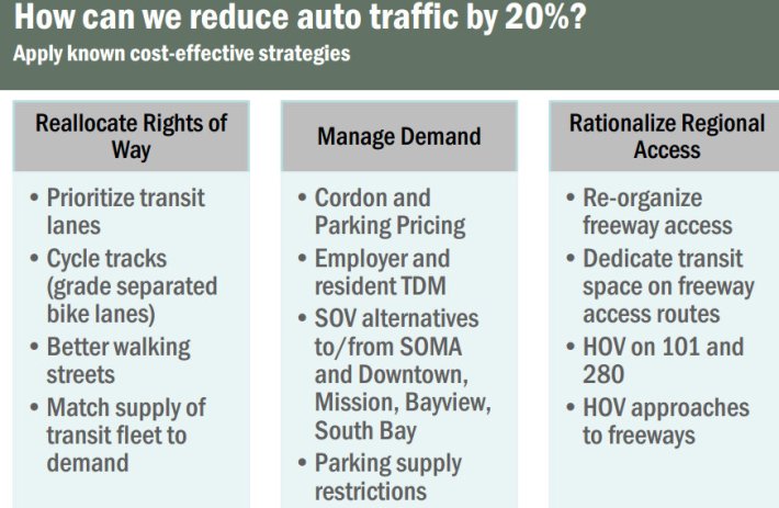
To avert "total gridlock" in SoMa, planners estimate that the anticipated increase in driving brought on by population and job growth must be curbed by about 20 percent, with another 20 percent reduction needed to have "a livable, functional, flowing system, that is meeting the needs of bicyclists and transit," said Tilly Chang, the SFCTA's deputy director for planning. "We're talking about quite a big reduction in travel demand by car in the peak period in order to meet these basic functional network goals."
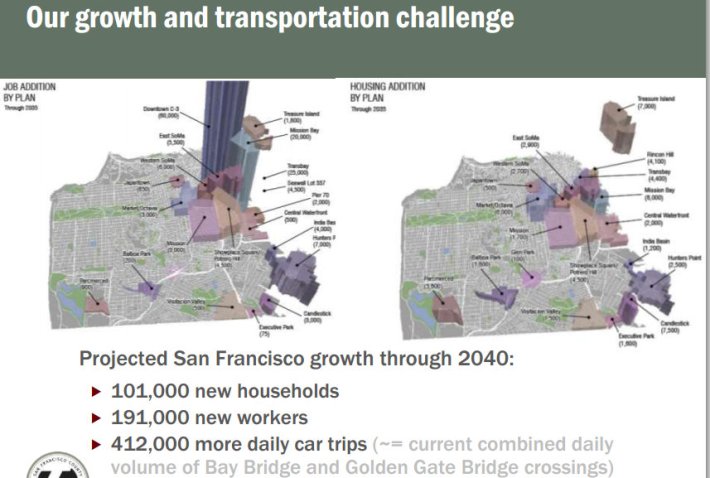
The projected traffic tsunami comes from an anticipated 101,000 new households and 191,000 new workers between now and 2040, mainly in downtown and along the city's eastern waterfront, according to the SFCTA. Under the status quo, that growth is expected to generate approximately 412,000 daily car trips, which is about how many are currently made across Bay Bridge and Golden Gate Bridge combined. Chang noted that 80 percent of downtown driving commuters are San Franciscans, while 50 percent of downtown transit commuters come from within the city. "We have a lot of work to do," she said.
The forecast even accounts for major transit projects currently underway, like Bus Rapid Transit routes on Van Ness Avenue and Geary Boulevard, the Central Subway, the Muni Transit Effectiveness Project, and the Transbay Center, as well as planned biking and walking improvements, Chang said.
The solution, the SFCTA says, lies in not just providing more dedicated transit lanes and protected bike lanes to encourage travelers to use those modes, but also in policies like congestion pricing, area-wide limits on new parking, and encouraging employers and residential building owners to offer incentives to travel without a car.
But the funding available to the SFCTA for infrastructure improvements just won't cut it: Of the expected $64 billion in revenue the agency will collect between now and 2040, the vast majority is committed to maintenance, transit operations and infrastructure projects already in the works. Only $3.14 billion remains uncommitted.
To get the public's input on how to spend that $3.14 billion, the agency released a "Budget Czar" online simulator that lets residents tell planners how they would set priorities for those funds. Chang said the agency has received about 600 responses, and the simulator will be available through rest of the month. SFCTA staff plans to continue the outreach meetings before releasing a "Financially Constrained Plan" early next year, which would propose a list of transportation projects to fund as well as possible new measures to raise revenue. The final Transportation Plan would be adopted some time next year.
Livable City Executive Director Tom Radulovich criticized the plan, saying it should take a broader approach to setting goals and better coordinate transportation and land use planning.
Although the city is planning much of its office development downtown, he said, many designated areas have "little or no transit or bicycle infrastructure, and there is no money to build it," making it more difficult for employees to come by means other than driving.
"The SFCTA is forecasting much worsened traffic congestion because of poor land use choices," he said, arguing that commercial development should be focused around rail stations, as in the Metropolitan Transportation Commission's Plan Bay Area, a regional plan mandated by SB 375, a state law.
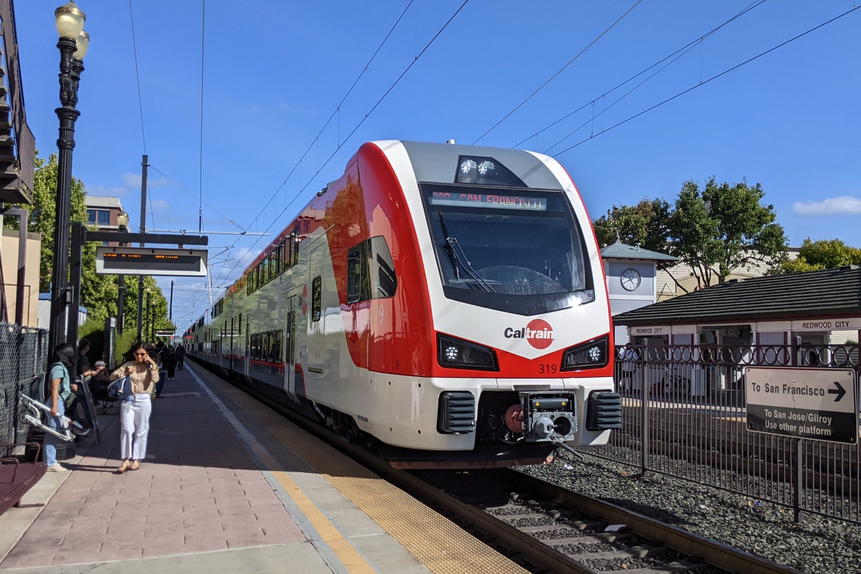
"I think we need to develop one or more non-'business as usual' land use scenarios," said Radulovich. "We have been doing this for years at the regional level, but not in SF. These scenarios should look at concentrating office growth around regional transit stations (existing and planned BART and Caltrain stations), focusing new housing in existing transit corridors, and not expanding the most car-intensive uses (like 600,000 square feet of big-box retail in Candlestick)."
"I think of it as an 'infrastructure efficient' transportation planning -- planning land use around existing and planned transportation infrastructure," Radulovich added.
Radulovich also said he'd like to see the Transportation Plan consider removal of the city's freeways, as well as goals and strategies for expanding bike infrastructure and improving "other essential factors, including transit performance (from the user perspective), safety, accessibility, health, equity, or social and environmental justice."
"We need to make progress in each of these areas, and it isn't clear at all that this countywide plan will do that," he said.
