What Happened to “Transit First?”
Note: GJEL Accident Attorneys regularly sponsors coverage on Streetsblog San Francisco and Streetsblog California. Unless noted in the story, GJEL Accident Attorneys is not consulted for the content or editorial direction of the sponsored content.
San Francisco is governed by a “Transit-First Policy” that reads like a miracle for advocates: it mandates that San Francisco encourage walking, biking, and taking public transit by making these modes “an attractive alternative to travel by private automobile.” Yet despite more than 45 years passing since the Board of Supervisors made San Francisco a transit-first city, less than 5 percent of our limited road space actually prioritizes transit.
The math/breakdown:
We have 1398.4 miles of streets within the city, governed by various departments:

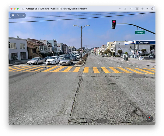
According to an email exchange with the Department of Public Works, this data is for miles of road, not lane-miles of road. That means that this data treats a mile of 19th Ave’s six traffic lanes and two parking lanes as equivalent to Natoma St’s single traffic lane and single parking lane:

Since Public Work’s data lacks detail, we need to make some assumptions to get a useful picture of San Francisco’s streets. Let’s assume that an average mile of street in San Francisco comprises four lane-miles, with two lanes dedicated to travel and two lanes dedicated to parking. Following this assumption, there are 1398.4 * 4 = 5,593.6 lane-miles of road in San Francisco.
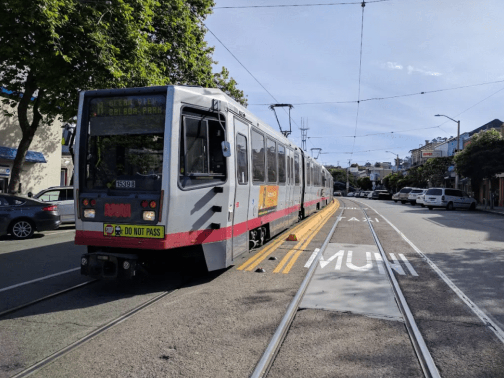
In 2019, SFMTA published a blog post saying that the city had painted 43 miles of transit-only lanes. Then in 2021 SFMTA announced that it was attempting to make 20 miles of recently created temporary transit-only lanes permanent. So assuming all those miles become permanent, we’ll have a total of 63 lane-miles of transit-only lanes in San Francisco. While buses often share the road with private automobiles, on these shared roads a car with a single occupant has the ability to delay a bus with dozens of passengers – these shared lane-miles are still prioritizing private vehicles over transit.
Also in 2019, SFMTA declared a goal of creating 45 lane-miles of protected bike lanes by 2021. Let’s give SFMTA the benefit of the doubt and assume that the city achieved its goal.
Since March of 2021 San Francisco has implemented 47 miles of Slow Streets, yielding 94 lane-miles from automobile priority. SF’s Recreation & Parks has also created pedestrian and bike promenades on 1.5 miles of JFK in Golden Gate Park, 0.9 miles of Shelly in McLaren Park, and two miles of the Upper Great Highway (though the Great Walkway is now open only on weekends), creating 8.8 lane-miles of car-free space.
So this means we have:
- 2 * 1398.4 = 2,796.8 lane-miles dedicated to parking
- 63 lane-miles of transit-only lanes
- 45 lane-miles of protected bike lanes
- 94 lane-miles of Slow Streets
- 8.8 lane-miles of car-free promenades
- 2 * 1398.4 – 63 – 45 – 94 – 8.8 = 2,586 car-dominated lane-miles for travel
In total, only 210.8 lane-miles prioritize alternatives to travel by private automobile in San Francisco. The remaining 5,382.8 lane-miles of road prioritize cars. In other words, more than 95 percent of our roads prioritizes cars in a city whose charter states: “Decisions regarding the use of limited public street and sidewalk space shall encourage the use of public rights of way by pedestrians, bicyclists, and public transit.”
Judging by the numbers, San Francisco isn’t living up to its stated values.
***
Dan Federman is a San Francisco resident who wants to safely raise a family in the city without ever owning a car
Streetsblog has migrated to a new comment system. New commenters can register directly in the comments section of any article. Returning commenters: your previous comments and display name have been preserved, but you'll need to reclaim your account by clicking "Forgot your password?" on the sign-in form, entering your email, and following the verification link to set a new password — this is required because passwords could not be carried over during the migration. For questions, contact tips@streetsblog.org.