Note: GJEL Accident Attorneys regularly sponsors coverage on Streetsblog San Francisco and Streetsblog California. Unless noted in the story, GJEL Accident Attorneys is not consulted for the content or editorial direction of the sponsored content.
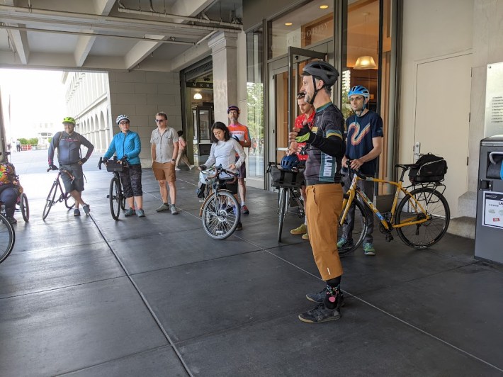
Twenty cyclists met at the San Francisco Ferry Terminal Sunday morning for a Labor Day weekend ride to Treasure Island--a distance of five miles as the crow flies. But it took them five hours, thanks to the lack of a bike lane on the Western Span of the Oakland Bay Bridge.
On Labor Day weekend ten years ago, Bay Area cyclists celebrated the opening of the bike and pedestrian path on the newly completed Eastern Span of the Oakland Bay Bridge between Treasure Island and Oakland. That was supposed to be only a first step towards linking San Francisco and Oakland.
"The omission of a pathway continuing along the West Span to San Francisco remains the most glaring gap in the Bay Area bike network," wrote Bike East Bay in a post about the anniversary. However, "Plans for a West Span Pathway have been in the works since even before the East Span was completed, but seem to be in a constant state of always 'ten years away.'"
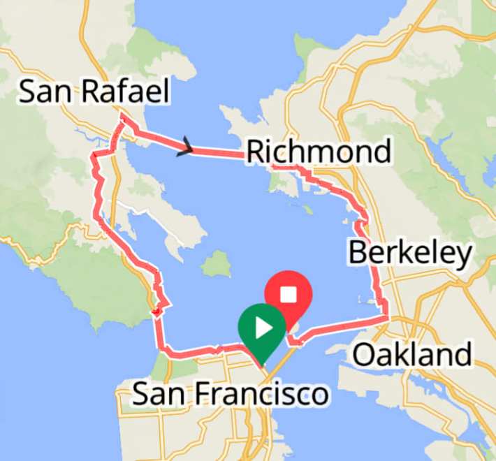
That's why the cyclist-advocates, led by Bike East Bay's Robert Prinz, decided to celebrate the anniversary of the opening of the Eastern Span bike lane by doing such a round-about and grueling ride, as pictured above--currently the most "realistic" way to ride between San Francisco and Treasure Island.
That's 44 miles and 1,500 feet of elevation. That said, the ride was of course beautiful and scenic, with a mix of outstanding protected bike lanes and the usual stripe-and-a-prayer situation on parts of the route.
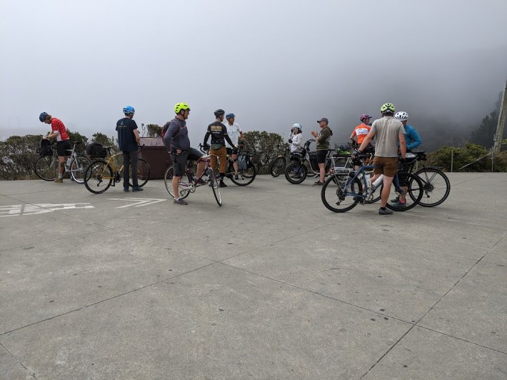
It was also a nice exploration of the Bay Area's micro-climates, with cool winds and fog for the Golden Gate Bridge crossing, and sunshine through Marin and the East Bay.
Thank you to everyone who joined us on our round-the-bay 44 mile ride celebrating the Bay Bridge East Span bike/walk path 10th anniversary this weekend. Let’s get the West Span pathway built & shorten that connection to 10 miles!https://t.co/eiChBue2dA https://t.co/kdQxJwoxwo pic.twitter.com/A6AjYwHDrH
— Bike East Bay (@BikeEastBay) September 5, 2023
The ride comes weeks after another, much larger group of cyclists took over the Oakland Bay Bridge in part to protest the lack of a connection between San Francisco and Treasure Island.
Nevertheless, as previously reported, there's little sign of progress on the only official proposal for adding a bike crossing on the Oakland Bay Bridge--a super complicated, $550 million plan to add a lane cantilevered off the side of the bridge. That plan, of course, isn't really about cycling--it's about avoiding taking back a single foot of space from motorists on a bridge that used to have lanes dedicated to transit. It also isn't budgeted. "The West Span Path is expected to open in January of 2033 if funding can be identified," explained MTC's Gavin Lohry, in an email to Streetsblog sent about the August ride.
In other words, it's still ten years away.
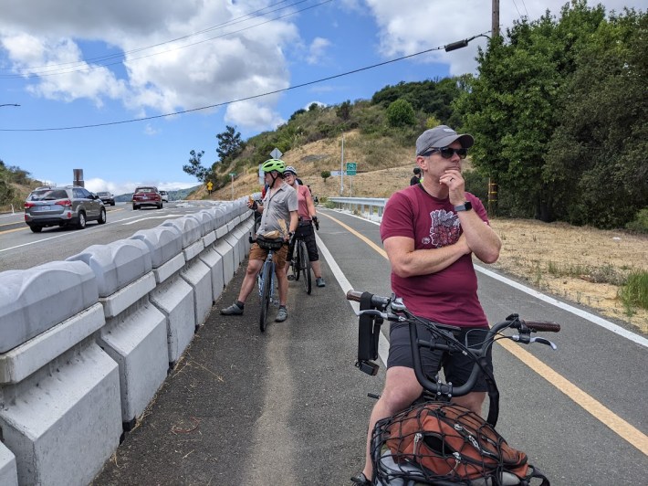
Meanwhile, if Marin Assemblymember and drunk, hit-and-run driver Damon Connolly gets his way, even the "Transbay the Hard Way" ride may soon be impossible. He's still pushing a bill to convert the bike lane on the Richmond San Rafael bridge to another lane of bumper-to-bumper car traffic.
