
Oakland to Open 74 Miles of Streets for Walkers and Cyclists
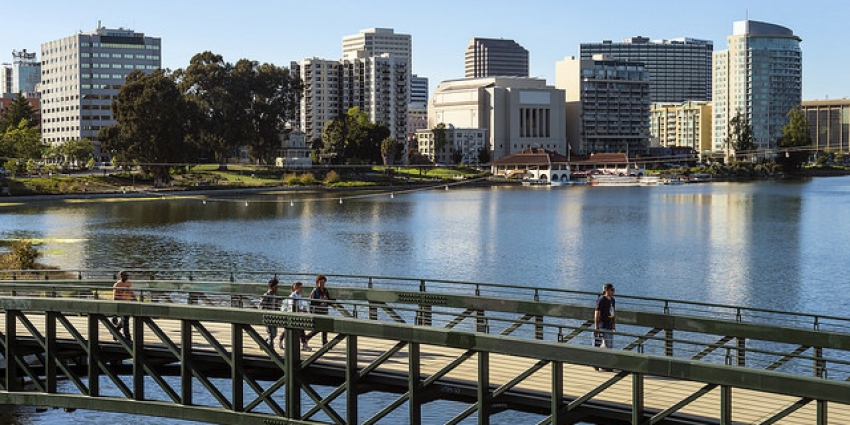
The city of Oakland is planning to open 74 miles of streets for cyclist and pedestrians so people can get outside and get some exercise with ample space for social distancing during the COVID-19 pandemic. The news was first announced via a town-hall meeting held yesterday evening with Oakland officials.
During the meeting, officials presented the map below, taken from a 2019 bike plan update, to give a sense of which streets are most likely to be opened for pedestrians and cyclists for exercise:
Streets will be designated as “slow streets” according to Alexandria McBride, Assistant to the City Administrator/Chief Resilience Officer for Oakland.
According to Bike East Bay’s Dave Campbell, who spoke with officials involved in the roll-out, the mayor’s goal is to phase in the first streets tomorrow/Saturday, and then add more streets over time. The expectation is that Oakland Public Works will collaborate with local residents and volunteers.
“Oakland will put instructions online. Maybe public works will have some staff roaming around to see how it’s going,” he told Streetsblog, adding that local residents may end up ‘slowing’ some smaller streets with parked cars or trash cans. “They’re going to want volunteers, which is where Bike East Bay and Walk Oakland Bike Oakland, and Transport Oakland, will help while practicing social distancing.” The above map of streets will be a starting point, but he added that some additional streets are being recommended by advocates.
Oakland Mayor Libby Schaff will be making a formal announcement about the plan at 10 am today/Friday, live streamed via twitter. Update April 10, 11:40 a.m.: watch it here.
This represents a major victory for advocates in the safe and livable streets movement, who have been pushing Bay Area cities to free up more space for exercise at a time when people are forced to mostly stay at or near their homes. “With the leadership from Transport Oakland, Bike East Bay, WOBO, this is one strategy,” wrote Walk Oakland Bike Oakland’s Chris Hwang, in an email to Streetsblog.
“As a cyclist/runner I’m very impressed with Libby Schaaf and Oakland for finding such a positive solution during these trying times,” wrote Ashkan Soltani on twitter. “Rather than close the parks due to the increased demand, we opened the streets to make space.”
Campbell added that local residents will still have access by car to the designated streets. “We’re not banishing cars,” he said.
Readers will recall that similar efforts in San Francisco and other Bay Area cities have, up until now, fallen on deaf ears. Even a petition by advocates to open JFK Drive in Golden Gate Park was snubbed by San Francisco officials. And while other cities in the U.S. and abroad have opened streets for safe social distancing during the pandemic, New York recently pulled back on a short-lived, small open-streets pilot.

More from Streetsblog San Francisco
Weekend Roundup: New SMART Schedule, More High-Speed Rail Context…

Friday Video: RIP, The D.C. Streetcar

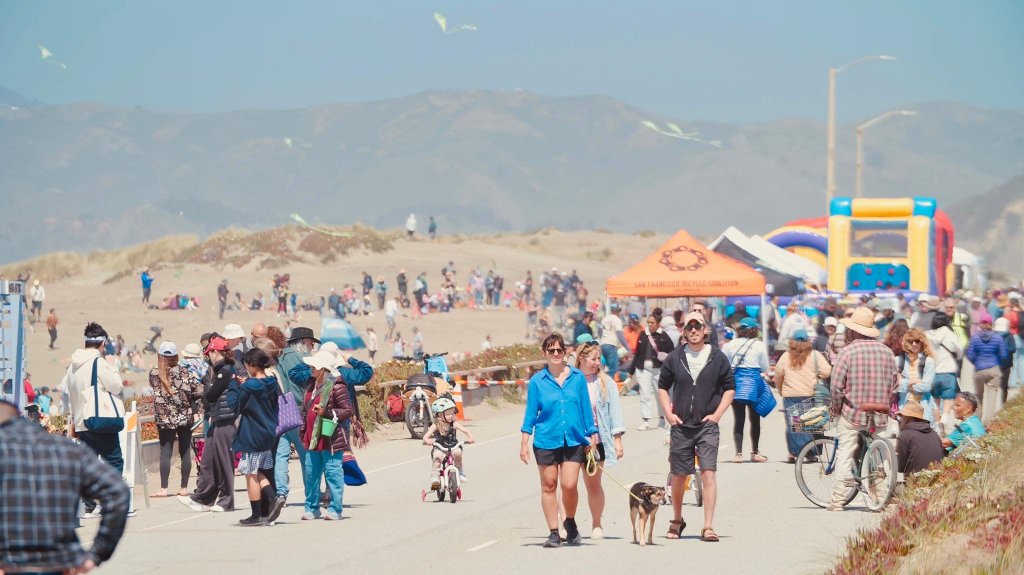
Sunset Dunes One Year Out: They Built it and People Came
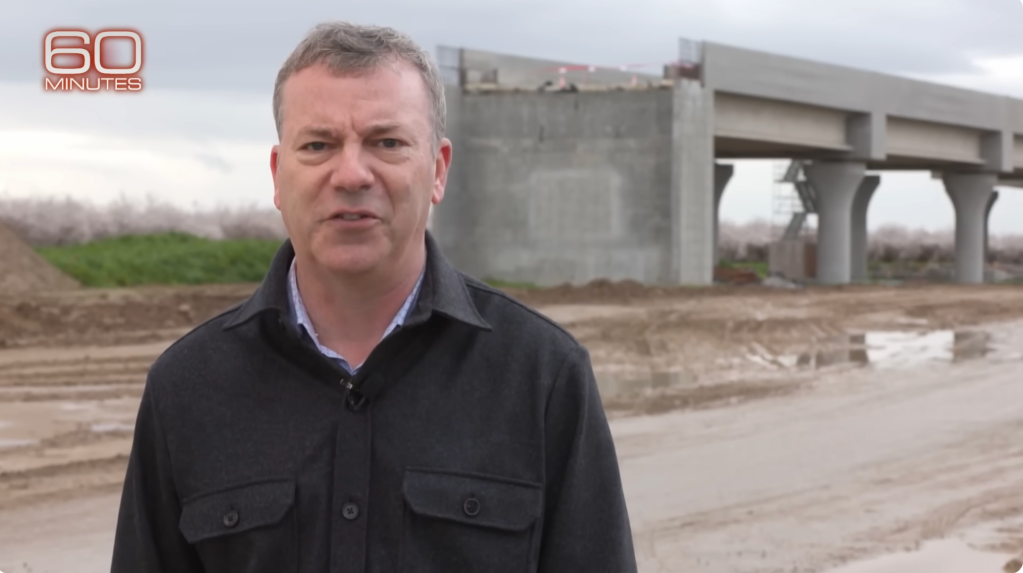
Review: ’60 Minutes’ Take On High-Speed Rail Ignored Facts And Offered Nothing New
...But the Coverage of the Coverage Is Sensationalist Slop
The post 60 Minutes Review of High-Speed Rail: A Lukewarm Look at the Project appeared first on Streetsblog California.
Comments Are Temporarily Disabled
Streetsblog is in the process of migrating our commenting system. During this transition, commenting is temporarily unavailable.
Once the migration is complete, you will be able to log back in and will have full access to your comment history. We appreciate your patience and look forward to having you back in the conversation soon.